Leaderboard


Popular Content
Showing content with the highest reputation on 09/24/2025 in all areas
-
Hi @Abdullah A., Here is the exit: https://maps.app.goo.gl/YmZqRTu94UeidkHA7 Here is the plan in my mind 😂.
 2 points
 -
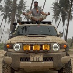
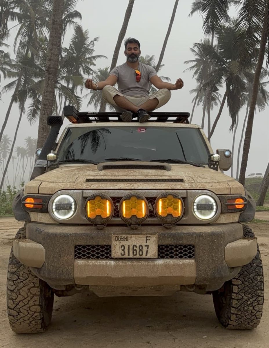
If I get through to marshal we will do one 4 hour session called "Dune - The Art of Meditation on a crest"
 2 points
 -
Wow, looks like a drawing my son made a while ago , looks fun. Thanks1 point
-
Hi @Ishak, can't wait for the drive. Do you have a trail in mind? can you let me know the location of the anticipated exit point? just for my planning purposes after the drive. Thanks.1 point
-
Congratulations @Imran Asghar. We were just talking about this on our last drive together and here you are. Welcome to the team and looking forward to hearing about the learning and training you, @Mike M. and @Mark B will be going through together. @Ishak, @Luke K P and I certainly had some trying challenges and some good laughs along the way. Enjoy and see you soon.1 point
-
Thanks @DP1011! Looking forward to the continued camaraderie in this journey ahead!1 point
-
Quick addition, and FREE gpx.studio — the online GPX file editor This little app (running from web-browser) allows for easy planning of routes and tracks. Once your plan is made, you can save your route as a .GPX file and load it into your favorite mobile app. Looks simple but is actually quite powerful. Take into account that it does not save your tracks (no repository). It's just a small online tool. If you feel Gaia / Caltopo is a bit too complex, this tool could be ideal for you. Next to the Mapbox Sattelite Imagery, you can also use Google Maps Terrain or Hybrid as layer. Go to Settings, Layer Settings, Customs Layers. Make a new layer by adding these hyperlinks: Google Hybrid: https://mt1.google.com/vt/lyrs=y&x={x}&y={y}&z={z} Google Terrain: https://mt1.google.com/vt/lyrs=t&x={x}&y={y}&z={z}1 point
-
ive done a lot of 'slow' navigating using the garmin fenix series of handheld devices... where visibility and speed of UI doesnt mater so much (backcountry ski touring)... and its absolutely superb once you have GPS+glonas or GPS+galileo Enabling multiple satellite systems and disabling data seems to give extremely accurate (down to 1 or 2 meters) reception once you have clear sky view. I've found the GPS+GLONAS with NO DATA to give the best results. Have been tracking it (fenix watch attached to grabhandle under winshield) and ipad in the car for a while now and found that gaia seems to veer off occasionally before re-joining the garmin route. ( ipad has no connectivity just relying on GPS) i'm gonna assume this is probably due to old ipad and not recording gps position as often or with as regular an interval between readings, being as accurate as the standalone device. of course the route plotting on the garmin leaves a lot to be desiered unless using basecamp........ but garmin doesnt overheat and turn off like the ipad does either.. but cant use the tiny screen to follow breadcrumbs while driving on my fenix, really just for route recording. holy grail has yet to be found1 point
-
Good point @Anoop Nair I use two Garmin devices as well and they seem to be a slightly more accurate, but only marginal, and the main variations is the fact that your phone is inside the cabin of the vehicle. Once you exit the vehicle and give it a few seconds it will give a better accuracy. 10-15m accuracy should definitely work in most situations.1 point
-
@Luke K P Sorry to have to change plans again, work is a bit hectic these days, resulting in no weekend this weekend. 🤷♂️ To the lucky ones, enjoy and post some pics to make me jealous!0 points


This leaderboard is set to Dubai/GMT+04:00