
Leaderboard

.thumb.jpg.faf264f698ded093f59df7be5597f9ce.jpg)
Popular Content
Showing content with the highest reputation on 08/17/2023 in all areas
-
Congratulations @Rk ram for reaching the Fewbie Plus Level with Carnity Offroad Club. Looking forward to seeing you growing further and helping others to learn the art of offroading in a safe environment. Please make sure your Carnity user profile is always updated with all the latest Emergency contact details. P.S. Trip lead might deny your participation if you don't have required off-road gear. FEWBIE PLUS Drives Attended (Indicative) Minimum 10 Fewbie drives are required within last 6 months for Fewbie Plus promotion. What you'll learn Advance dune and sand reading Advance recovery techniques Rocking and crawling to make path Learn to flatten/compact soft sand patch Self recovery from crest Advance side sloping and long hill climb Advance ridge riding and criss crossing Advance control over technical dunes Slightly faster pace desert driving FULLY control and avoid fishtailing Never fight or challenge gravity Skills required Enthusiastic and positive attitude Willingness to learn and help others Extremely attentive and focused while driving Car Worthiness Any 4x4 vehicle with low range gearing Suitable approach and departure angle Bash plate and skid plate protected Off-road gear required Safety flag, tire deflator, tire pressure gauge, shovel, fire extinguisher, medical kit, radio (walkie-talkie), air compressor. Drive teamwork Manage second lead and sweep positions upon request Intuitive and proactive to support Trip Lead Observe recoveries and offer help, when needed Drive Joining Join Newbie, Fewbie and Fewbie Plus drives Forum participation Active participation on the forum Share drive experience + feedback Share drive pictures in the gallery Post trip report after the drive4 points
-
Congrats @Rk ram...see you soon in the sands!2 points
-
Impressive and congratulations Doc @Rk ram ! Well done and looking forward to seeing you soon in one of Pace drives !2 points
-
Keep pushing that X-machine!2 points
-
wow nice one!2 points
-
Congratulations @Rk ramwell done...2 points
-
Congratulations @Rk ram on your promotion. Well done !!2 points
-
Well deserved @Rk ram congratulations and enjoy the new level of fun.2 points
-
Congrats on the promotion @Rk ram enjoy the pace and the new rank2 points
-
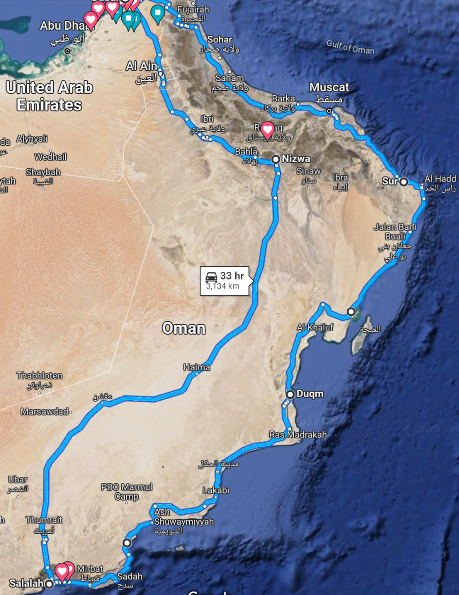
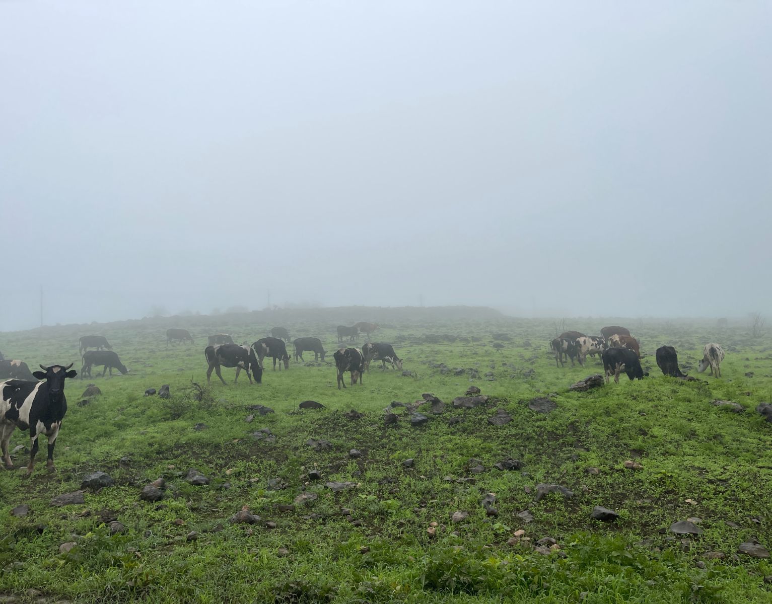
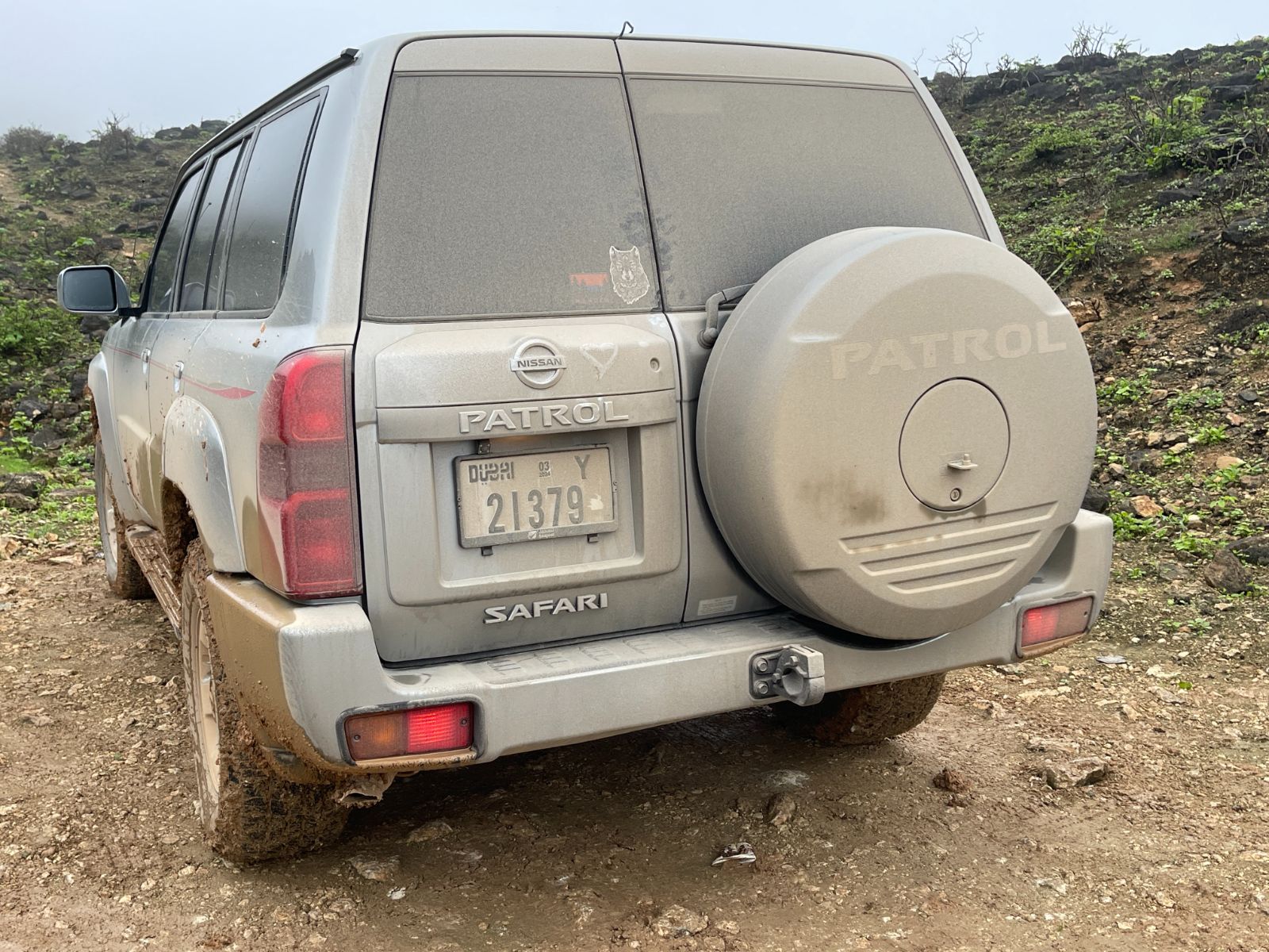
For many, Oman is tucked away somewhere in a corner of the Middle East, and even though you might have heard abouts its beauty, its hospitality, and its variety, it is quite large and takes a bit of preparation to explore. We decided to take a road trip over the last couple of weeks in Oman and it was no coincidence as to why we chose July. Every year, the Khareef (monsoon) blesses the Salalah region with clouds, rains, and turn the region into a green paradise. That includes daily temperatures around 26 degrees, and a lot of fog. As we were trying to escape the Dubai summer heat, we reckoned this was a great trip worth taking as we talked about it for years but kept postponing due to COVID and other issues. The main plan looks like this: Dubai to Nizwa: 420km to cover in Day One. Enjoy Nizwa old town, and Jebel Hatt/Akhdar. Nizwa to Salalah: 876km to cover in Day Two. 7 days exploration around entire Dhofar-Salalah region. (wadis, trails, beaches, etc..) Salalah to Duqm: 676km to cover on the 10th day, following coastal road and few stops in-between. Duqm to Sur: 518km on the 11th day, mostly along the coastal road, with planned stop at the Sugar Dunes. Sur to Dubai: 654 km on the 12th day, along Muscat, stopping on the occasional sinkhole but no wadis. (we explored those in 2019) Important Notes: 1. As we were traveling with one vehicle only, we were careful with off-roading and stuck to gatch tracks and existing trails as much as possible. 2. The drive from Nizwa to Salalah is long and boring (not scenic). You'll find petrol stations along the way where i recommend keeping your car always topped up. The temperature was +40 degrees, and you don't want your car to breakdown on this road so make sure it's serviced and fully inspected before embarking on this trip. 3. The main road that goes through Salalah is the Route 47, also called Sultan Qaboos Road. Although this is a stunning road and perhaps even one of the most beautiful roads in the world, the fog made the visibility in many places almost impossible to drive. Especially once the elevation exceeded 350m it became very difficult to drive, and the cows crossing the streets on the mountain villages did not help either. This also meant that some of the waypoints we wanted to visit closer towards the Yemen border took hours to reach and we even had to skip a couple of them. 4. Military checkpoints. The Dhofar region has a couple of military checkpoints. We did not face any issues but needed to carry our ID's at all time. 5. Rain, and lots of it. I was happy we got new tires installed two weeks before the trip, and the car underwent a full inspection as well. At times we could not even distinguish the color of the car anymore as it got so dirty from all the mud. Luckily carwashes were easy to find. 6. The Salalah region is predominantly Sunni, while the rest of Oman is mostly Ibadi. Throughout Oman we were advised to dress modestly and even then, we got a lot of curious stares and looks It felt like being back in Saudi in many cases (restaurants with family section, etc..). But overall, the people are very friendly and helpful. Further in this topic i will shortly describe the areas / waypoints we visited, with some photos to visualize the experience (although difficult). Stay tuned for more trip updates!
 1 point
 -
Hi, already I have fj, beautiful Ram find new home 😁1 point
-
@Amir Amiri can you tell me what vehicle are you going to bring to the drive. I know you have a green RAM 1500 but your profile has a FJ making me curious.1 point
-
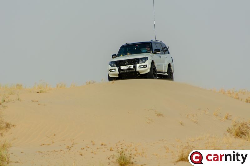
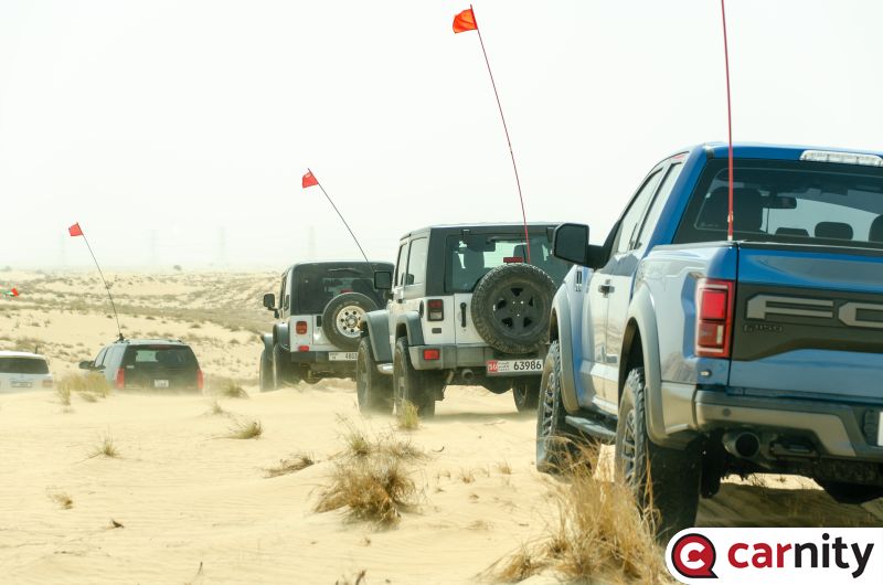 @PETELCZYC PAJERO - luke: benefit of being at the sweep and having a 300 mm telephoto lens plus most importantly a solid support in the middle who take care of the refusals. These are only half of the photos i took.1 point
 -
1 point
-
Trip Update: Date: 27 July 2023 Country: Oman Region: Duqm to Sur On the road to Sur, we had 2 well-known points we wanted to visit: Sugar Dunes Bar Al Hikmann beach Sugar Dunes: https://goo.gl/maps/HMHEsg6KQdzoXN6s6 They can be reached by entering from here: https://goo.gl/maps/wLVe8rvExhFAxUr88 It's about 25mins on a regular gatch track, even in 2WD and inflated it was fine to do, as this is the road to the Duqm Salt Factory nearby. The catch track continues to run parallel to the beach at about 20m from the actual shore. The sugar dunes are called because they are actually white as snow, and the contrast with the blue sky and ocean was stunning ! Nice Google Photos: We didn't feel like going back on the same track where we came from so we kept following that same track which goes towards Al Khaluf and here it became tricky as at one point we had to deflate to 15psi, engage 4x4, and drive on the beach itself (mostly over litter that washed ashore). It was compact and no issue, but when you are alone it is a bit nerve wrecking and I was glad to be back on the regular gatch track later on. (gpx track attached). However beautiful the sugar dunes are, the moment you get closer to Al Khaluf you will see tons of litter / plastic that washed ashore. It's a shocking realization that somehow all of us are partially responsible for this and I hope in the future we can see this reducing by all doing our best. Barr Al Hikman: https://goo.gl/maps/q1UdTzMTWEiLSuML7 Entry from here: https://goo.gl/maps/KF2hEPiD4JRReJJYA In 2021 I read this article: https://www.thenationalnews.com/gulf-news/oman/2021/10/29/a-delightful-adventure-why-retired-omanis-are-heading-to-barr-al-hikman-beach/ it immediately made me put Bar Al Hikman on my Oman wishlist, but as soon as I started doing some research I read countless contradicting stories going from "totally fine with any SUV", to "extremely difficult due to salt-flats and sinking risks !! take multiple vehicles !!!" Evidently I wasn't planning on taking risks being one car only so it was on my mind for the last couple of days and after doing a lot zoom-zoom on Gaia to try to find existing tracks, I noticed a few tracks running parallel to each other, and ending up at the beach. The distance is about 40km but a big chunk of it is on salt flats which can be extremely deceiving to navigate. I drafted one track in Gaia and wanted to decide once we reached the entry point that day. The moment we reached the entry point next to the road, I was like "this looks totally fine, as it contained lots of gravel and bushes, and felt very hard. We discussed amongst ourselves and agreed to go in on moderate speed with 4x4 engaged and to keep an eye in the rear-view mirror to see if the car actually sinks in. If it did we would immediately retreat without second try. We started heading in cautiously and the first 10-15 mins were extremely easy. I followed my planned route religiously and there was indeed a nice hard gatch track on that salt flat, which looked like this was the regular route for the ones who come here often. After about 20 km, the terrain opened up and all around us we could see only endless sabkha, and to our biggest shock we track we drove on remained perfectly compact, but just on the left or right of the track you could see tracks of cars that immediately sunk in and retreated back to the compact part. This meant we had no other option than to continue on that compacted sand and not stray away from it at whatever cost. It became drop-dead silent in the car and kept going at 50-60 km/h and Alhamdullilah that track was a blessed one as it took us straight to the beach where we only saw one other visitor. I have attached the GPX file here but take note of the following: - I would NOT recommend doing this alone. I was experienced but all this means nothing if you sink into sabkha mud. It would have been a serious stuck and only on our way back 1,5hrs later we noticed some cars entering that could have potentially offered us help. - Even if you enter with a couple of 4x4s, following the track STRICTLY and do not deviate from it. If you see someone else stuck who has deviated from the track, the only option would be to join several ropes together and give a pull from the hard track, as you really do not want to venture into the mud yourselves. Luckily the end destination was worth it: a beautiful beach but unfortunately again a lot of litter and plastic that washed ashore. My son took a quick dip and soon we made our way back on the same track, this time we sped up to 80-90kmh without issue as we knew the track was fine. I now understood the big contrast in comments about driving to Barr Al Hikman. If you are not comfortable and experienced to follow your GPS compass heading exactly, you are in big trouble as sometimes that hard patch became difficult to see and we had to rely on the gps solely. Secondly even experienced off-roaders have been caught off guard as the salt flats shift and move as per the season, tide, and overall temperatures, so what was fine and compact today could be slushy mud the next day. We walked out of there unscathed but with sweaty palms and the acknowledgement we should always respect nature and abide by its rules. We booked a small cosy bungalow in the Ras Al Jinz Turtle Reserve area (SAMA Ras Al Jinz) which was extremely quiet, dark, and they offered delicious dinner and breakfast. Would be a great spot for stargazing ! We drove back to Dubai today, and this closes our trip. I am honestly already planning so many things for the next time we head to Oman. We have completely fallen in love with this gem of a country, its people, and the adventures it has to offer. For anyone who likes a road trip, sunny desolate pristine beaches, majestic and sometimes lush green mountains, super nice hiking/swimming in wadis, fantastic scenic dunes, and so much more, I would say GO NOW before this country becomes too well known. bar-al-hikman-track.gpx sugar-dunes.gpx
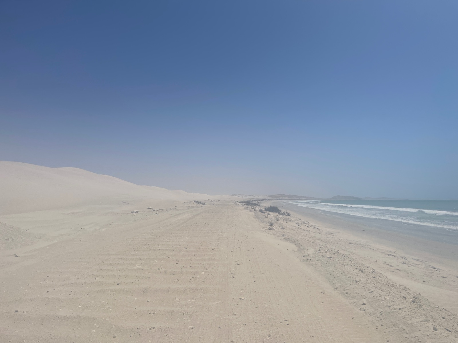
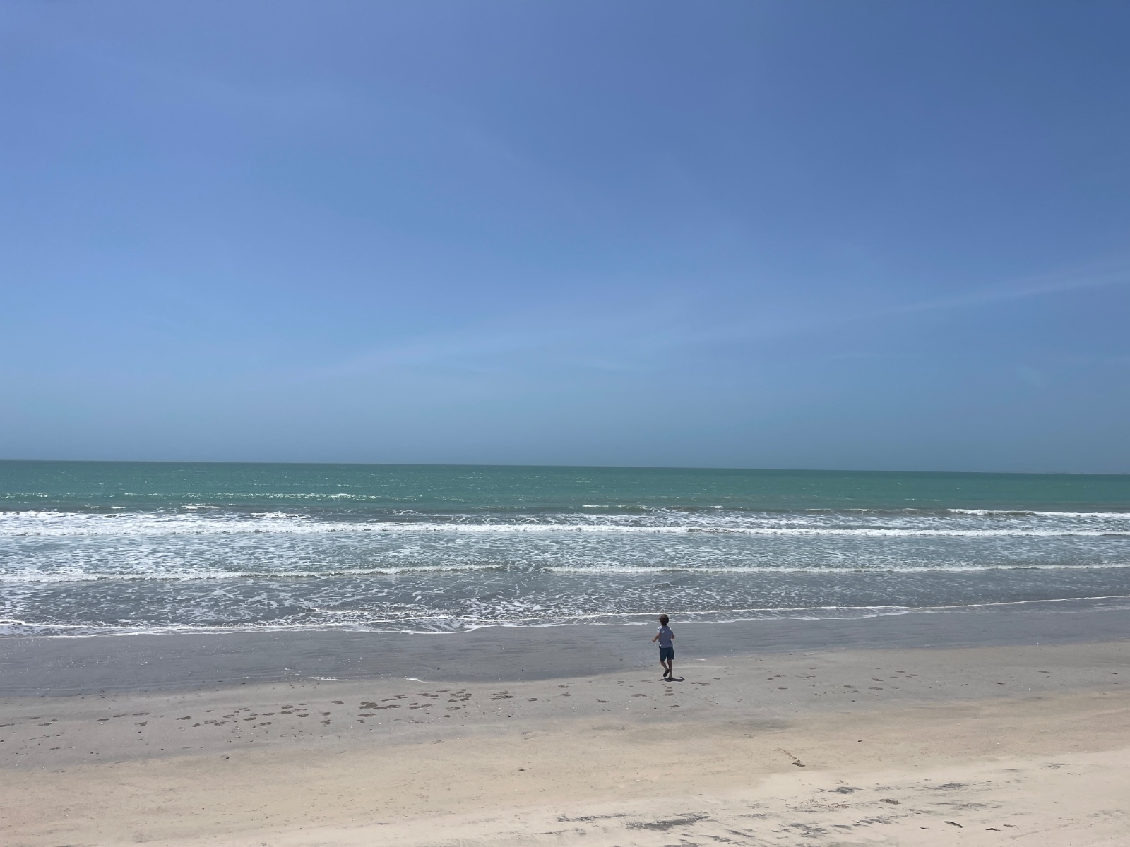
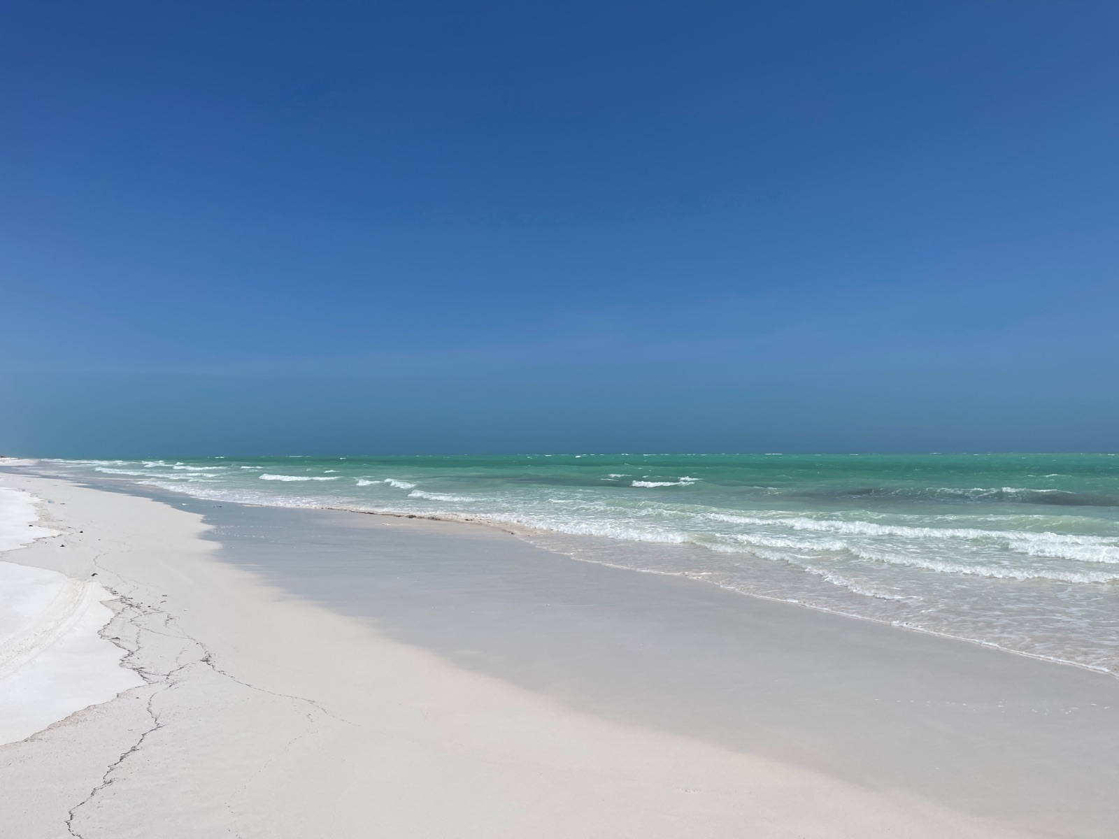
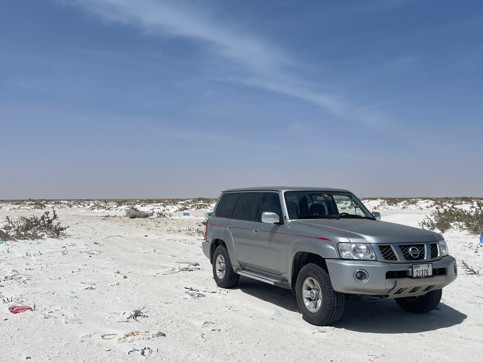
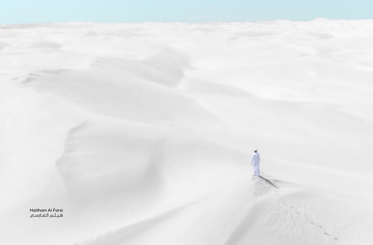
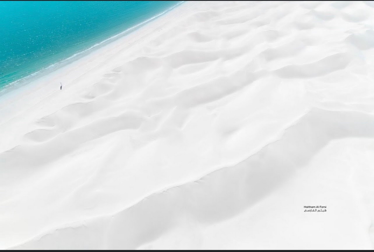 1 point
 -
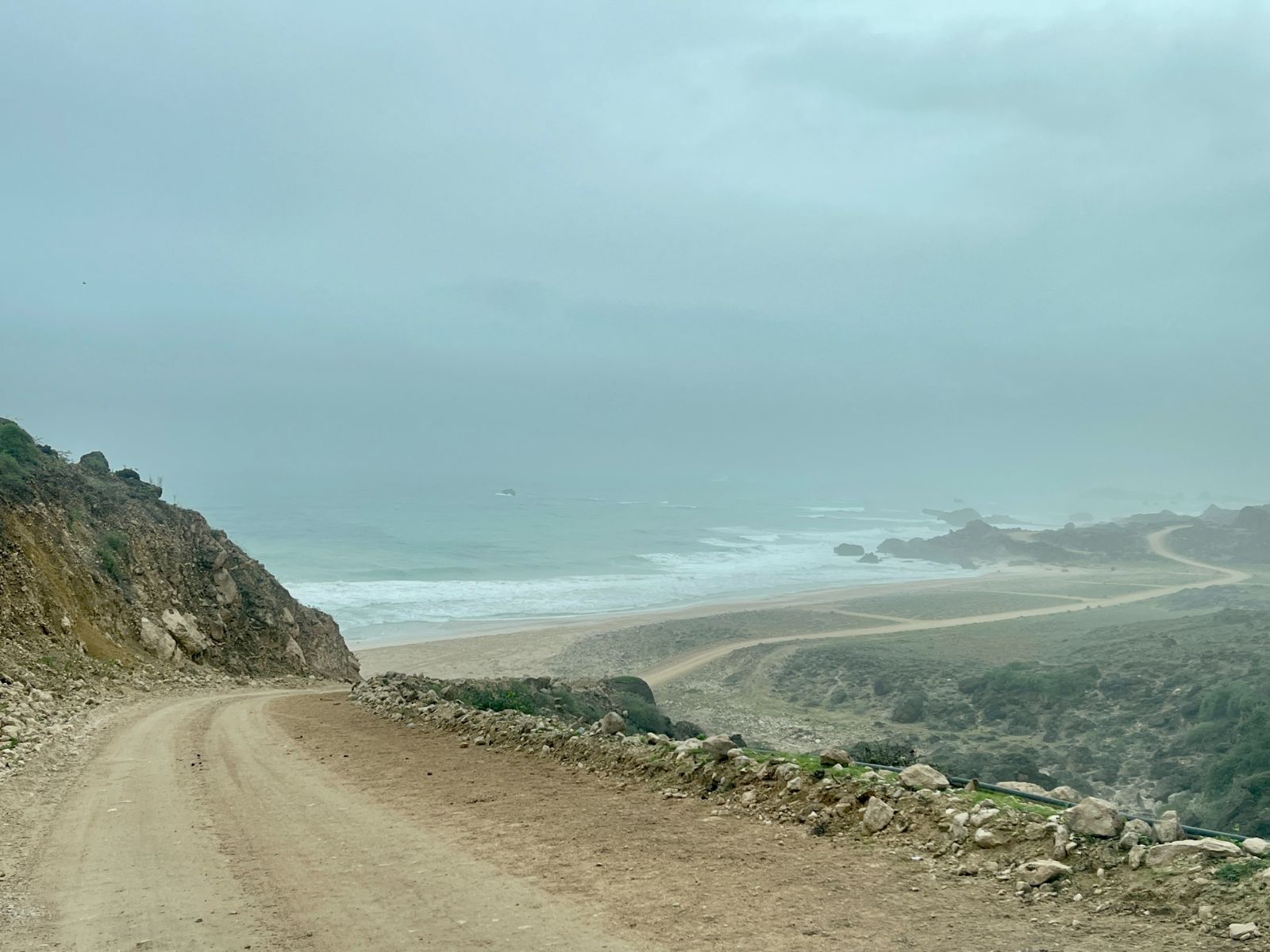
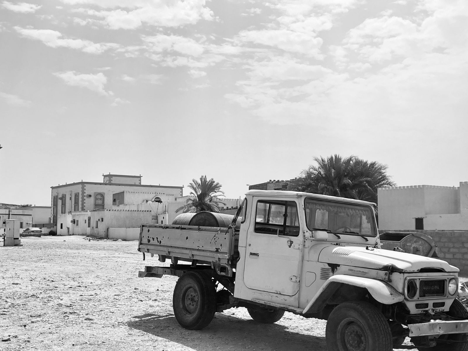
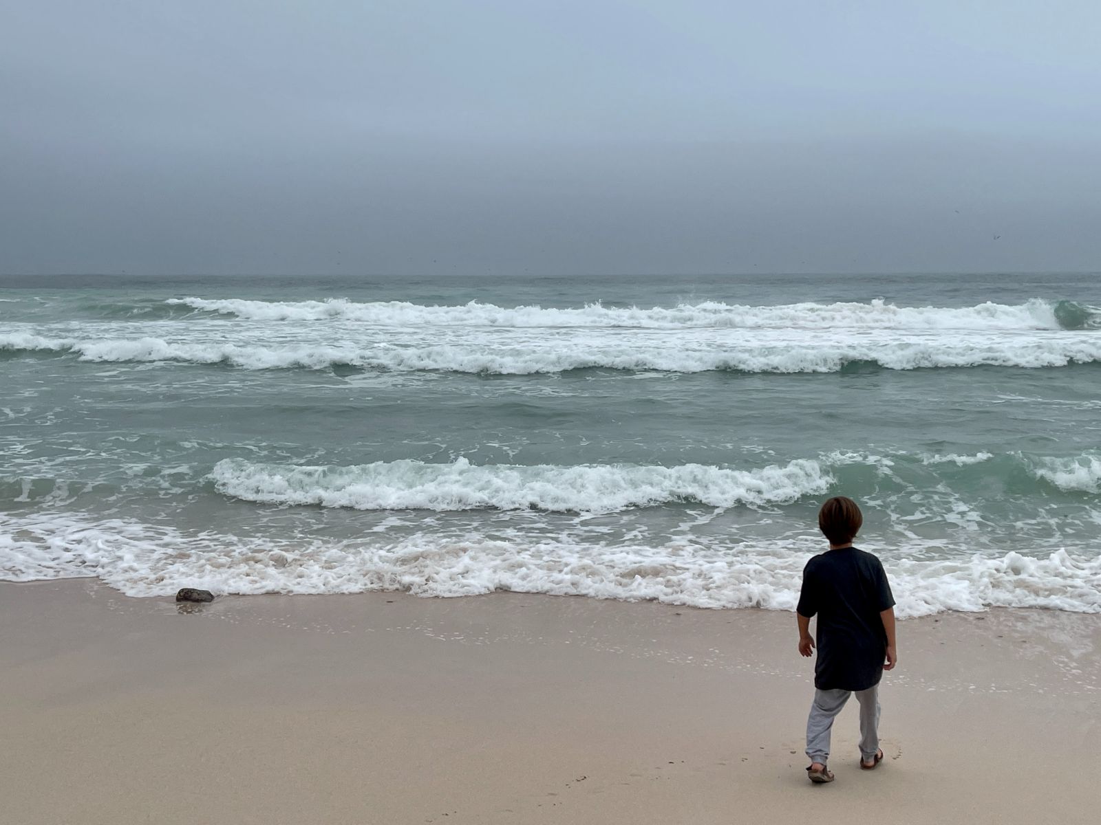
Trip Update: Date: 26 July 2023 Country: Oman Region: Dhofar - Salalah to Duqm As we were not keen on taking the same road as to where we came from, we decided to take the coastal route which is longer but far more scenic. We left around 11am in Salalah today and arrived around 7pm in Duqm. A coastal city where a lot of economic development is currently ongoing, mostly related to oil and gas. The road from Salalah to Duqm is absolutely amazing as it alternates between mountains and driving next to the beach itself. There’s so many pristine beaches and hardly any development as of now. Due to the Khareef it was very windy and the weather was extremely pleasant. Some highlights: Sadah Beach: https://maps.app.goo.gl/vbH26P7ZNPuwTXWB8?g_st=ic Wadi Al Nakheel: https://maps.app.goo.gl/g5ejCFrPvn2225TR8?g_st=ic Manji Beach: https://maps.app.goo.gl/31Cush9EynNLJVbf6?g_st=ic Out of the mountains and into the sea: https://maps.app.goo.gl/bJBTsViDpbbeuTWG7?g_st=ic Photo from Google: Along the way:
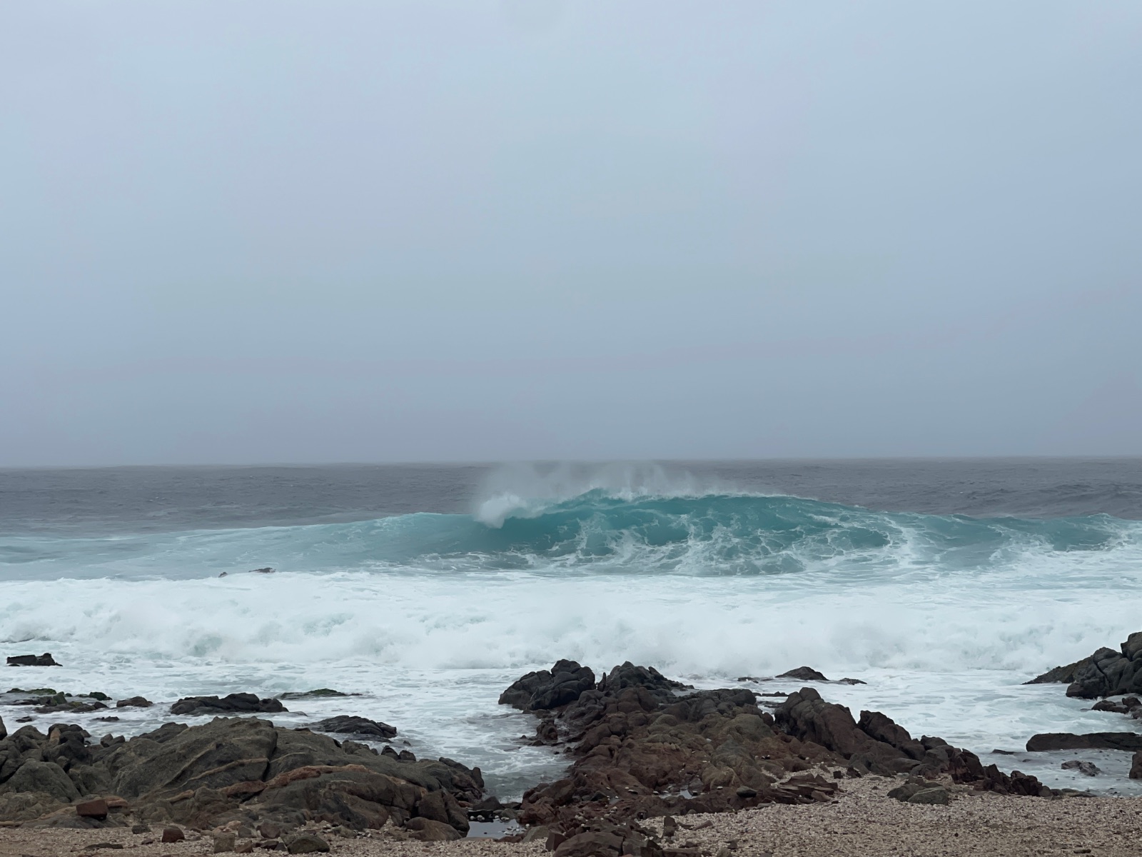
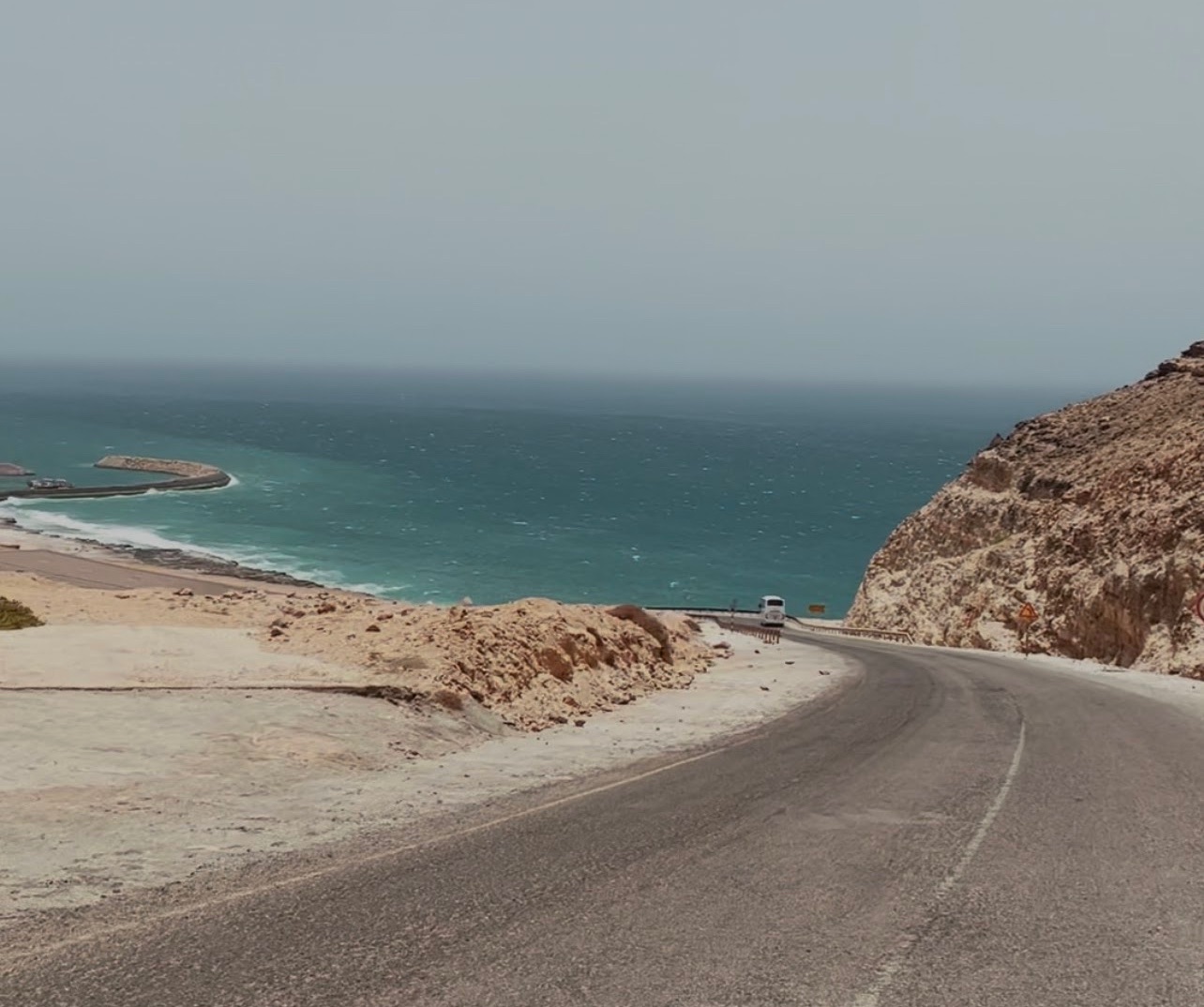
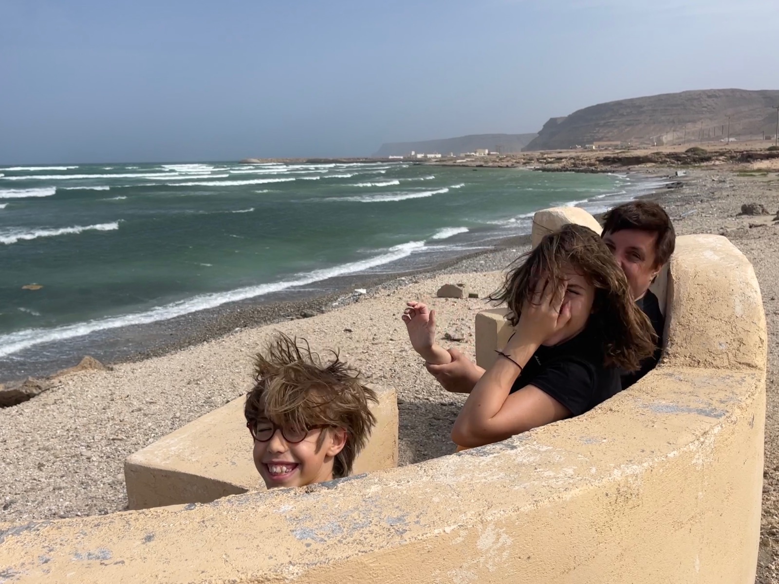
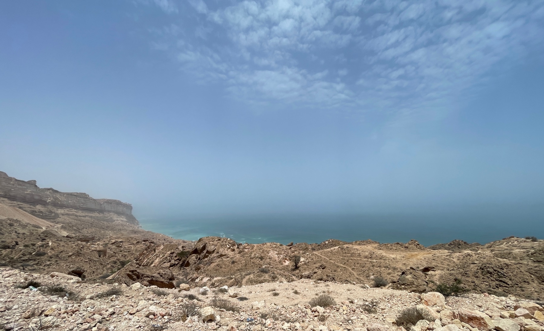
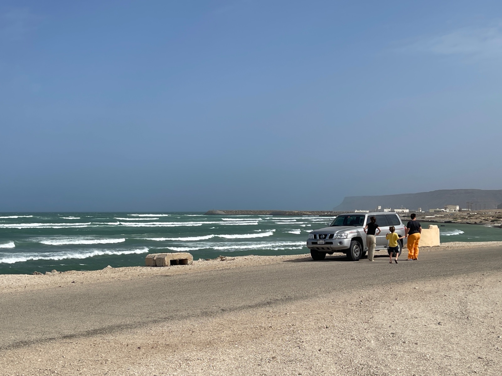
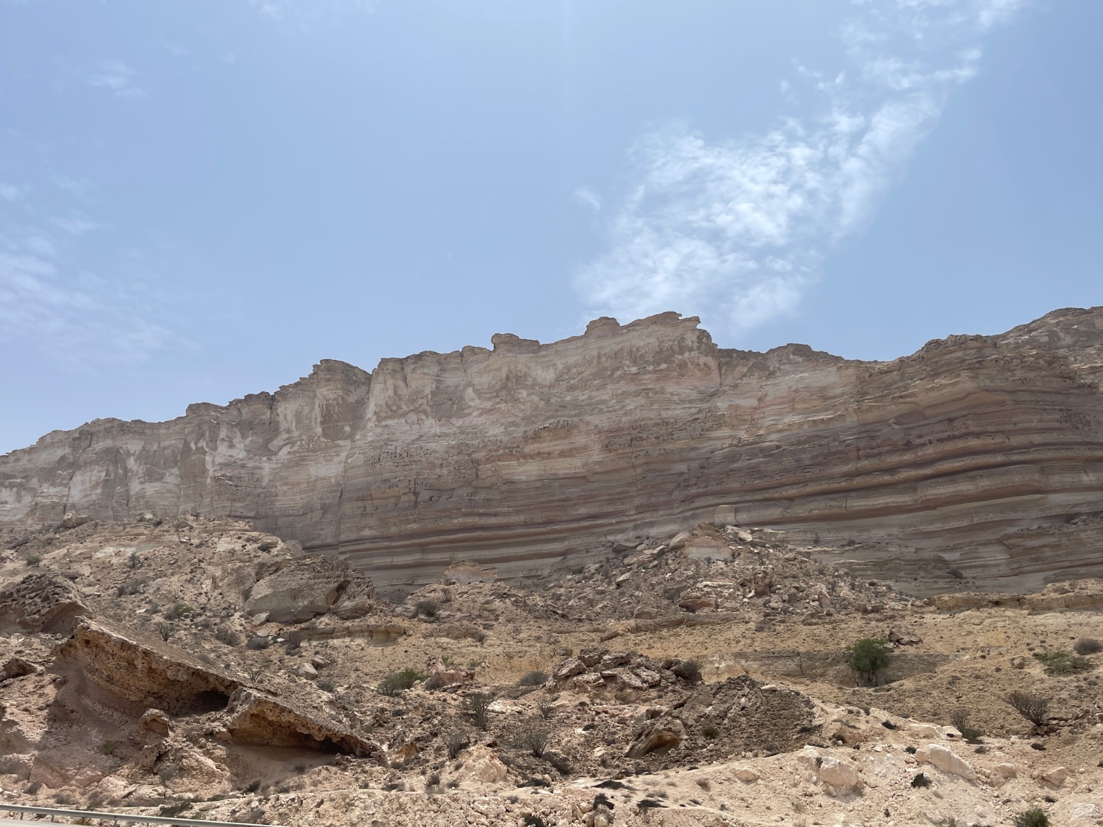
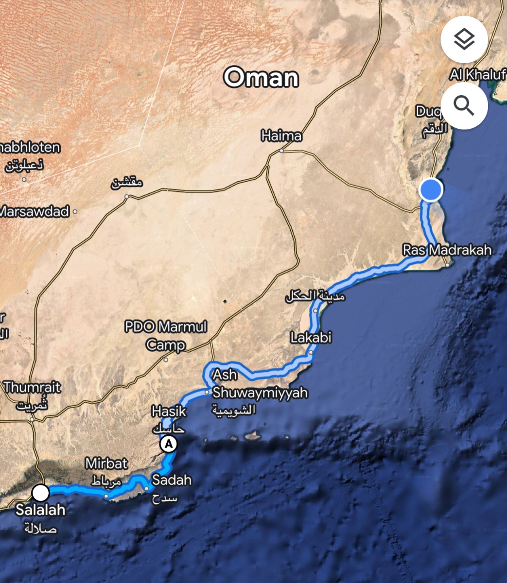 1 point
 -
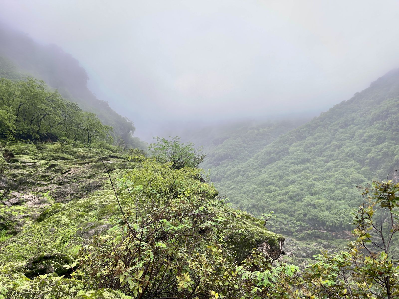
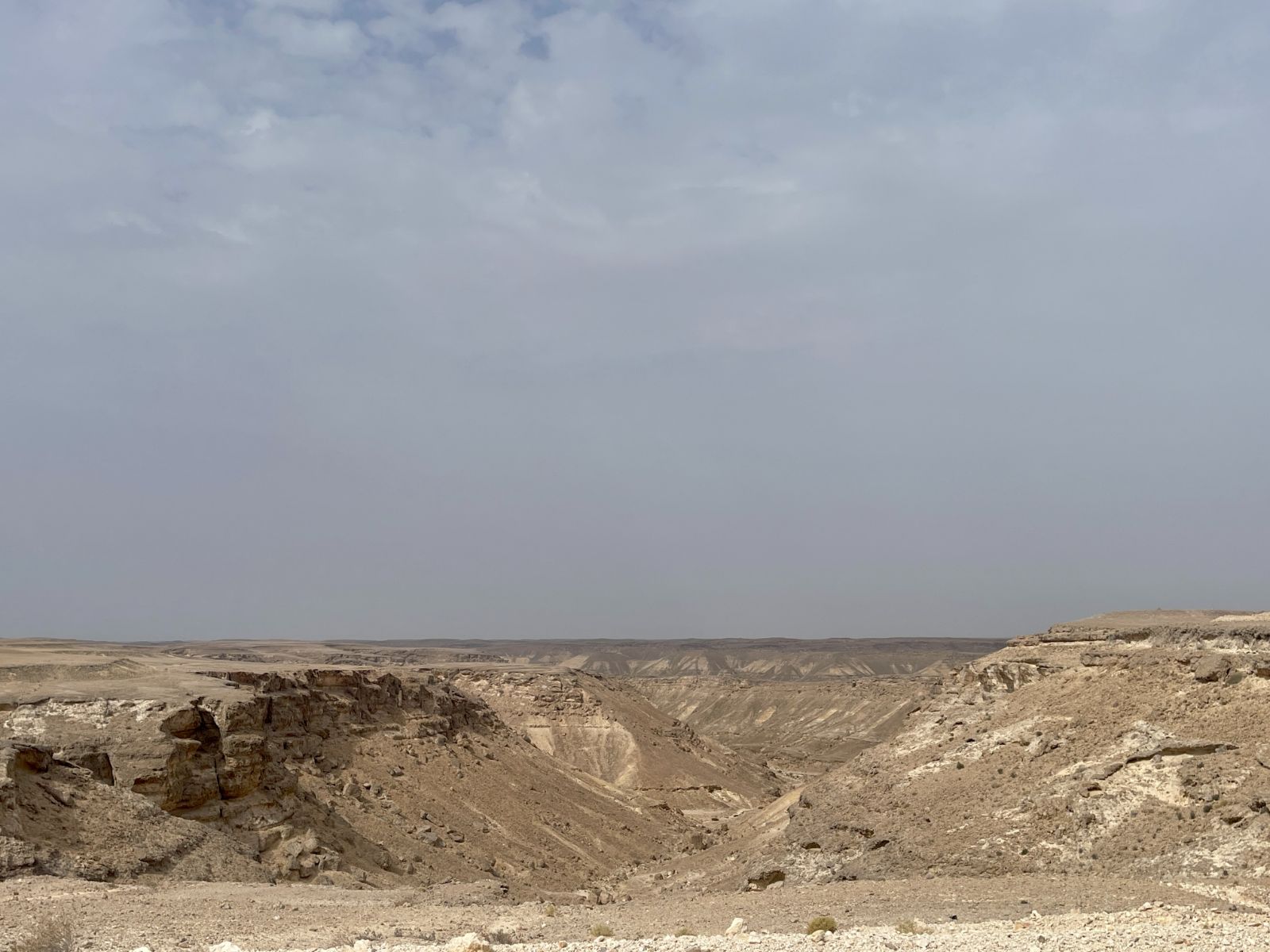
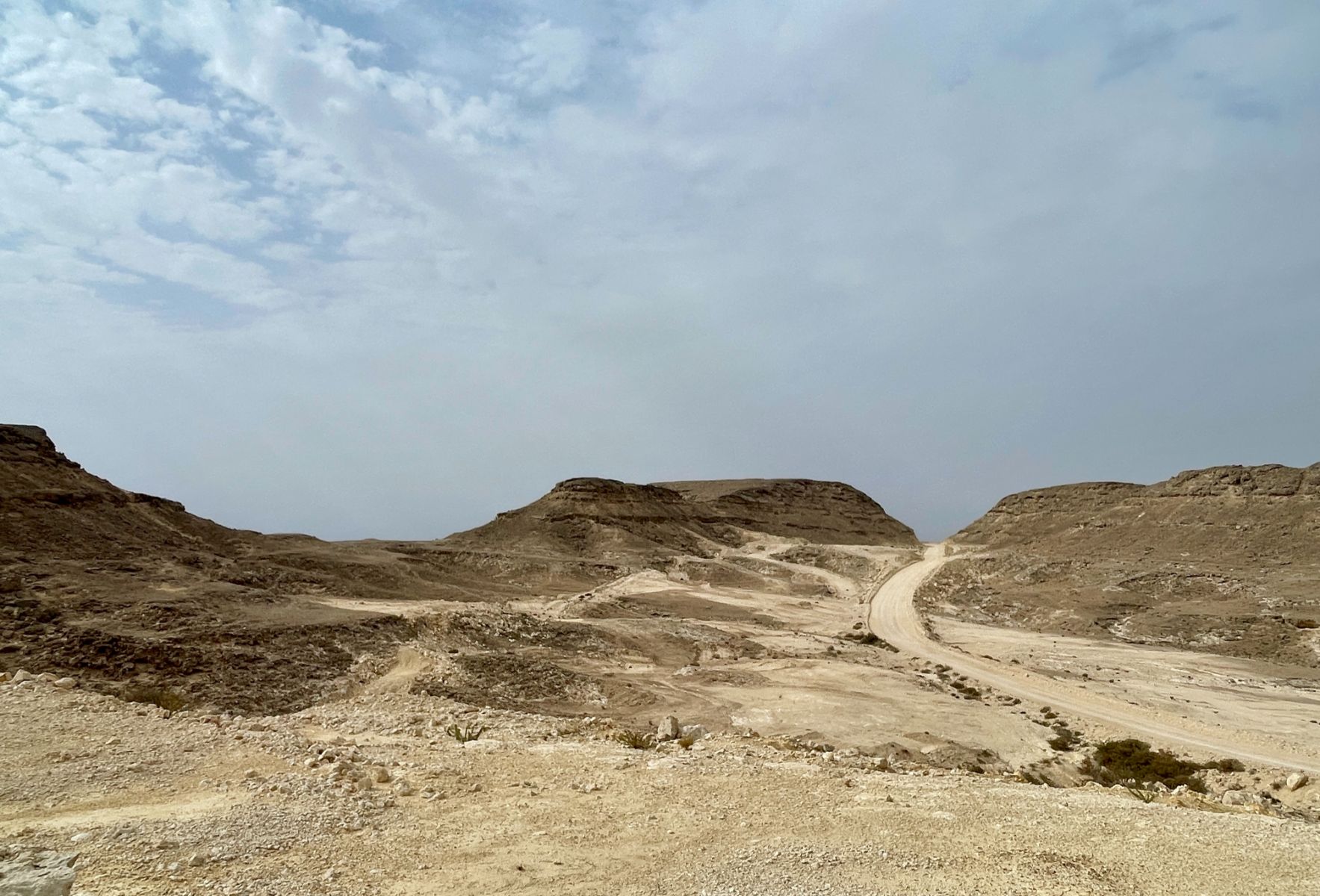
Some Photos Continued: Wadi Darbat Bottom: Becoming more challenging here: Wadi Darbat Hike and Wadi Trail: https://goo.gl/maps/MnAjvjHvznTCvrM79 Thumrait to Rakhyut Canyon Road: Unforgettable.... Fazayah Beach: https://goo.gl/maps/8EkfwGxVaM4XxAQm6 Ain Khor Waterfalls:
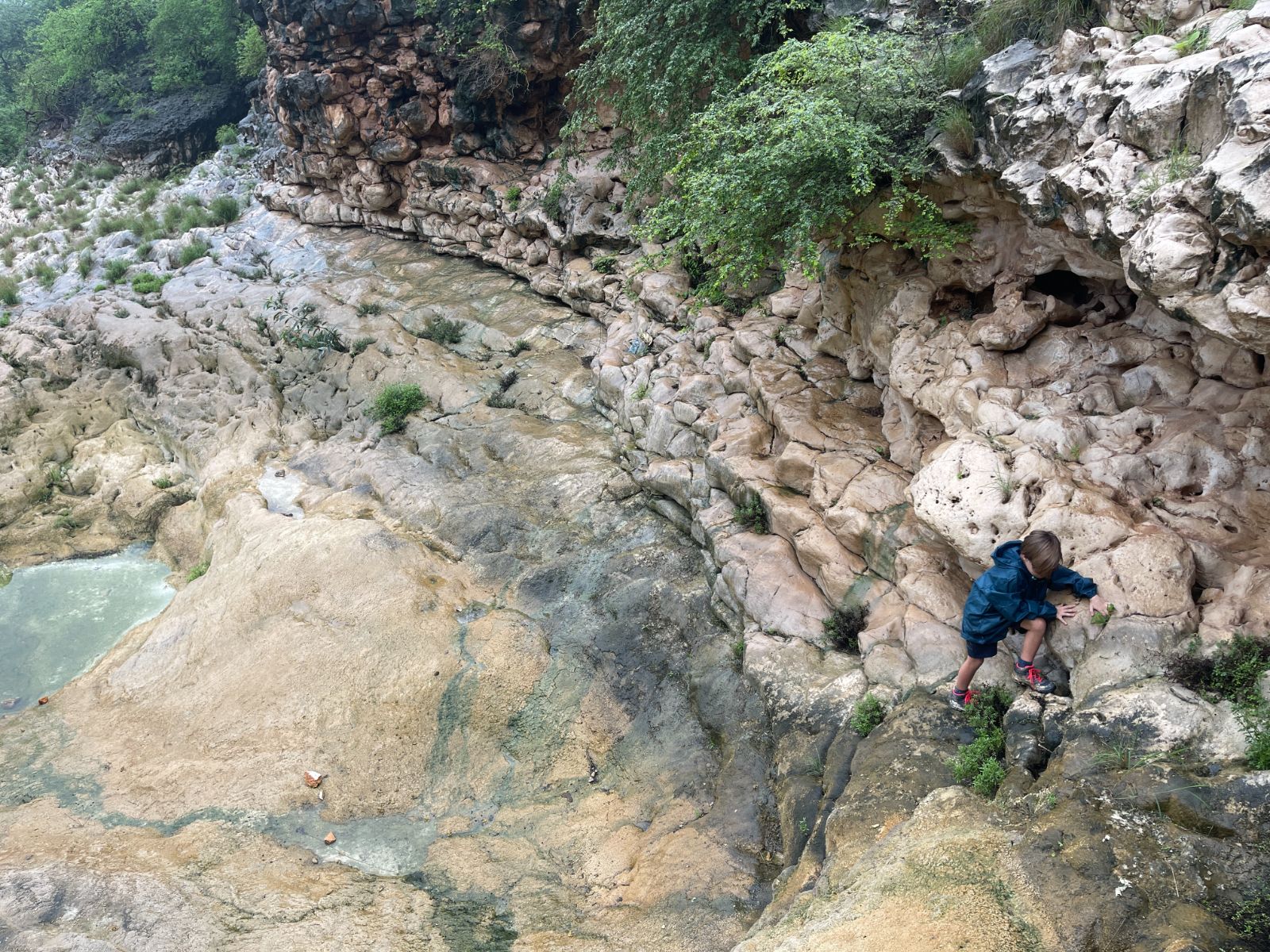
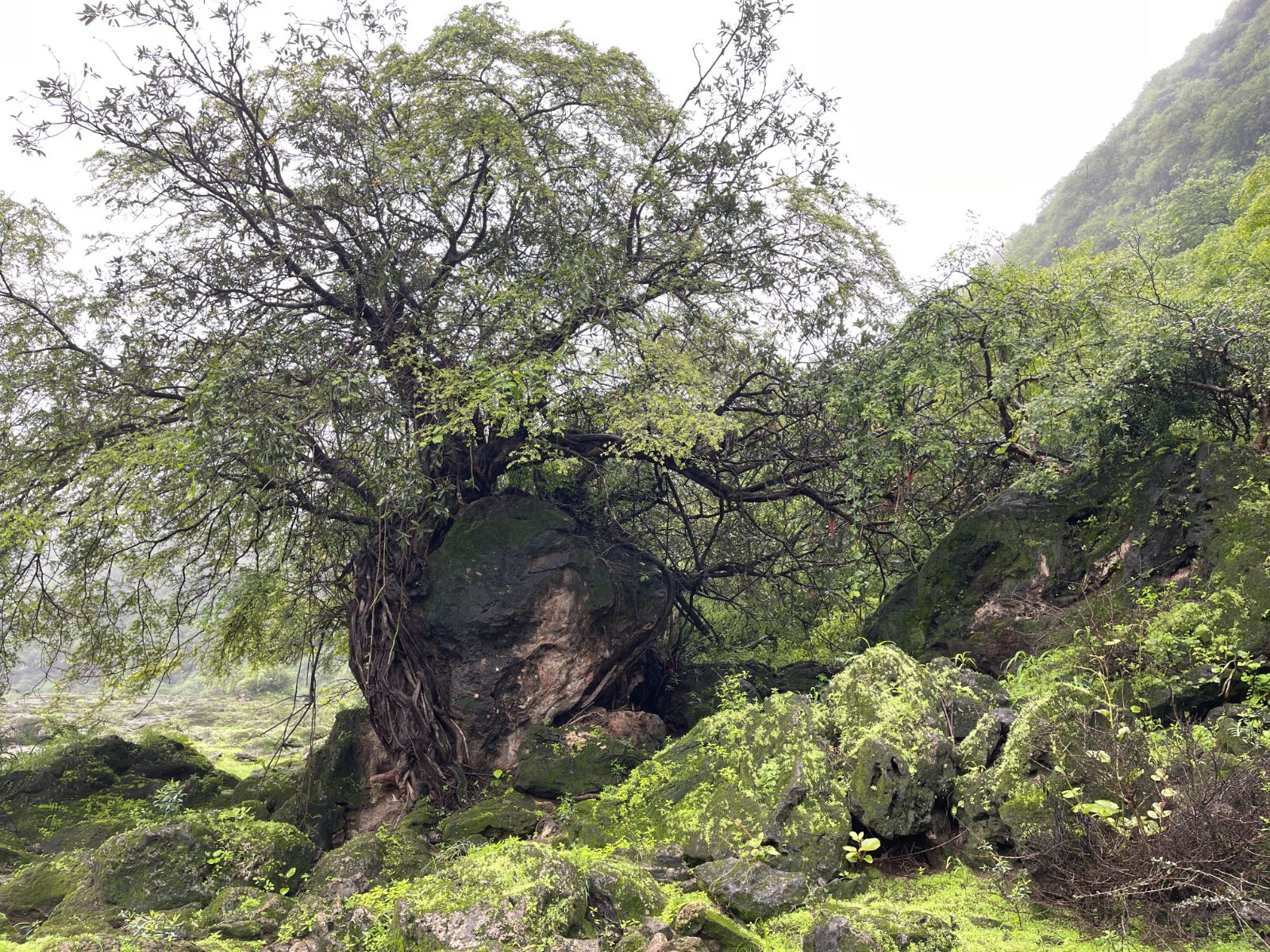
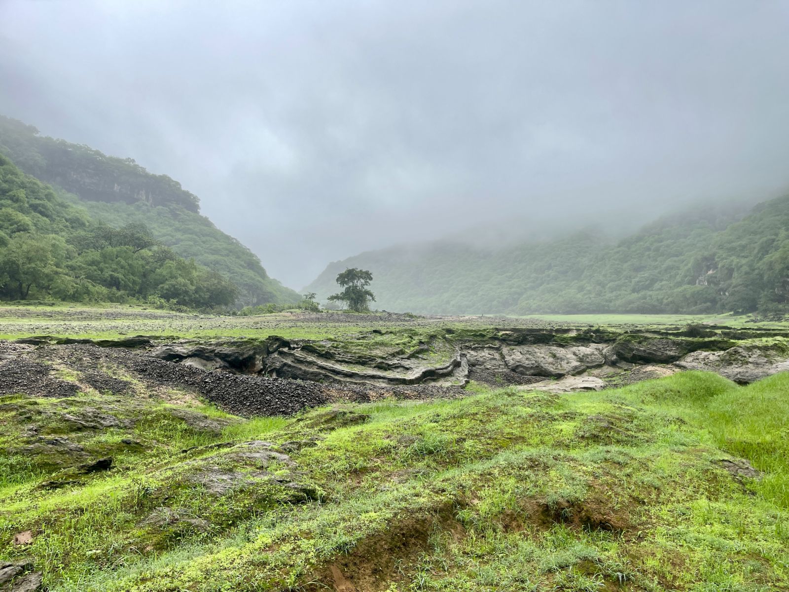
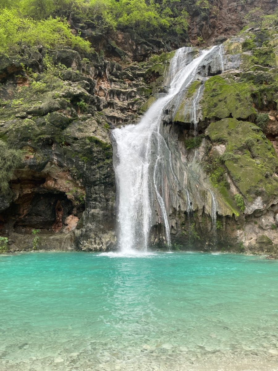
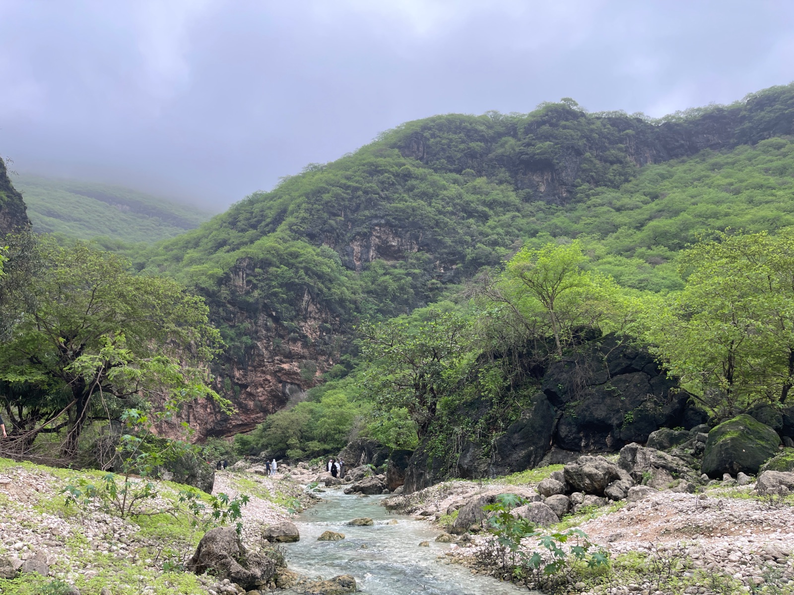 1 point
 -
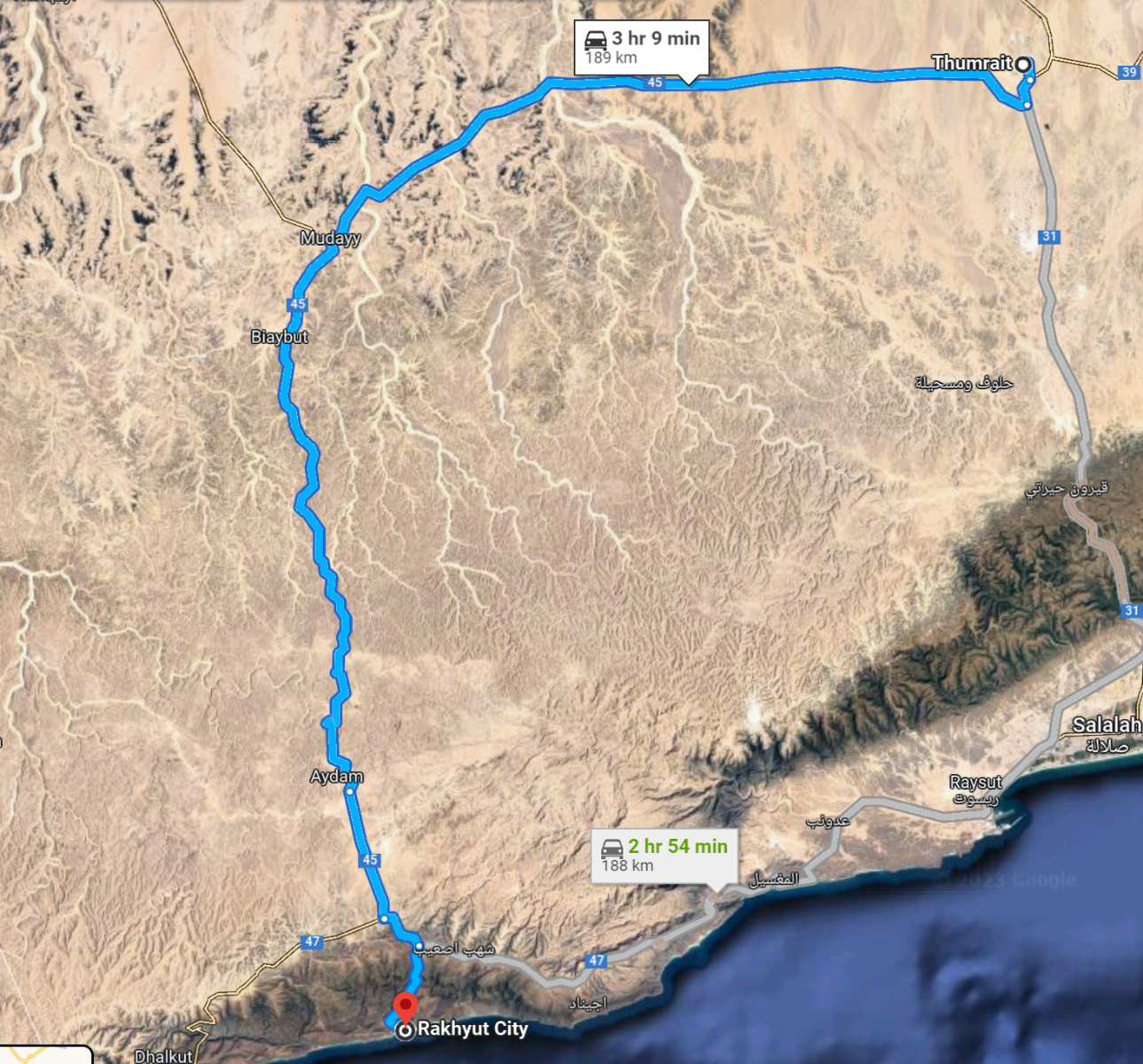
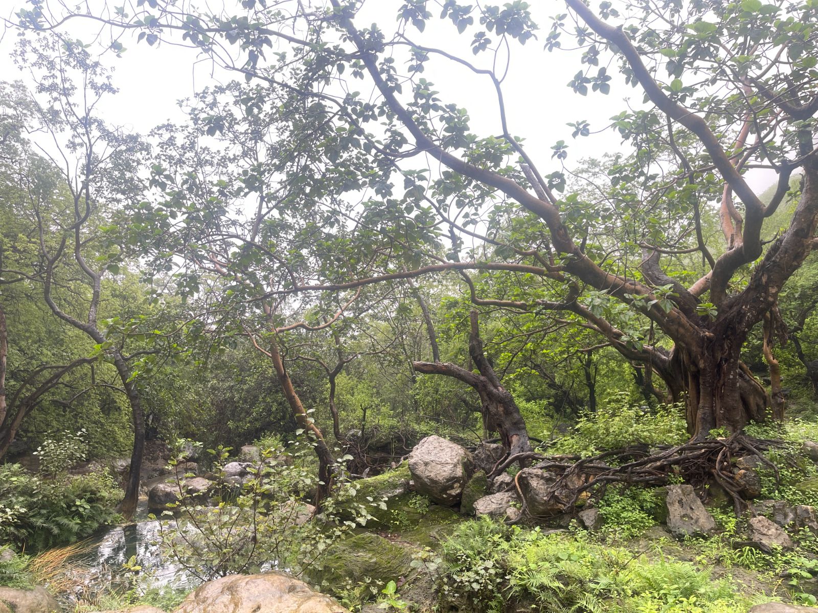
Trip Update: Date: 19-23 July 2023 Country: Oman Region: Salalah Places visited: Ain Khor Waterfall: https://maps.app.goo.gl/VhkiroCBds1aboVBA?g_st=ic Ain Athum Waterfall: https://goo.gl/maps/vRFZeT5bW3RALAzQA (nice but busy) Unknown Sinkhole: https://goo.gl/maps/eCxEbE7WMFtLzi2J8 (very nice) Tawi Attair Sinkhole: https://goo.gl/maps/oYu7mPJpbUQz4h7x6 (not that great due to limited visibility) Baobab Forest: https://goo.gl/maps/GHma7FRiF6fJNviL6 (nice little hike with manmade pool in the forest). Gravity Hill: https://goo.gl/maps/XPCmajKSpWNJaK4a8 (realized too late we were driving on the opposite side of the road). Ifalqoot Beach: https://goo.gl/maps/pyDuPvTHgvc5GuFs9 nice cliff with viewpoint (no beach). Shipwreck: https://goo.gl/maps/ECr9jsxYju41XFHH9 unfortunately the trail became inaccessible halfway due to the mud and big rocks. Wadi Darbat Hike and Wadi Trail (approaching from the North, as we tried from the regular entry from the south but there were long queues with too many visitors) start here: https://goo.gl/maps/KeEJDYrvWNXXVKx28 park here: https://goo.gl/maps/MnAjvjHvznTCvrM79 you can hike further down up to the viewpoint: https://goo.gl/maps/eoaLijXZQcdVE3gt5 unfortunately, there was no waterfall to be seen but the hike is really fun. Wadi Darbat Bottom Hike: https://goo.gl/maps/LFhn1gRFtUHJuZkU6 Leave the car at the parking and start the hike. Challenging at some places but real good fun ! Ain Razat: Cave, botanical garden, and picnic area. Nothing special and too busy: https://goo.gl/maps/6eXnjqo4yTZ7XXiv9 Mughsail Beach: https://goo.gl/maps/rQ5dBJFvpWf2z192A no swimming was allowed due to very rough sea. Mughsail blowholes: https://goo.gl/maps/SJTAKqRxrJXUWXDa9 (nice to visit but very busy). Mahsood hidden beach: https://goo.gl/maps/V9mCCsLU1FwhWjji7 (definitely recommended). Start from here and follow the wadi trail: https://goo.gl/maps/E7DgL75BkKjALY5A8 Fazayah Beach: https://goo.gl/maps/8EkfwGxVaM4XxAQm6 Start from here and follow the dirt track: https://goo.gl/maps/gFeLnckfS6iBZKcp6 Thumrait to Rakhyut Canyon Road: This was a stunning Route 66 experience which takes you to the middle of nowhere, apart from some tiny villages and beautiful out of this world canyons. There are a couple of military areas and checkpoints as this is not too far from the Yemen border so stay on the existing track. 50% of it is tarmac while the other 50% is a gatch track. Start from Thumrait and follow road 45 all the way down to Rakhyut. There are stunning beaches in that area. We were not able to reach them as it was getting late and extremely foggy. Absolutely amazing drive... Some photos: Up in the mountains: Baobab Forest: https://goo.gl/maps/GHma7FRiF6fJNviL6 In need of a car wash.... Along Road 47: https://goo.gl/maps/aGvtdXSrMW6YDWgH7 Mahsood Hidden Beach: https://goo.gl/maps/V9mCCsLU1FwhWjji7 Wadi Darbat Bottom Hike, the easy part: https://goo.gl/maps/LFhn1gRFtUHJuZkU6
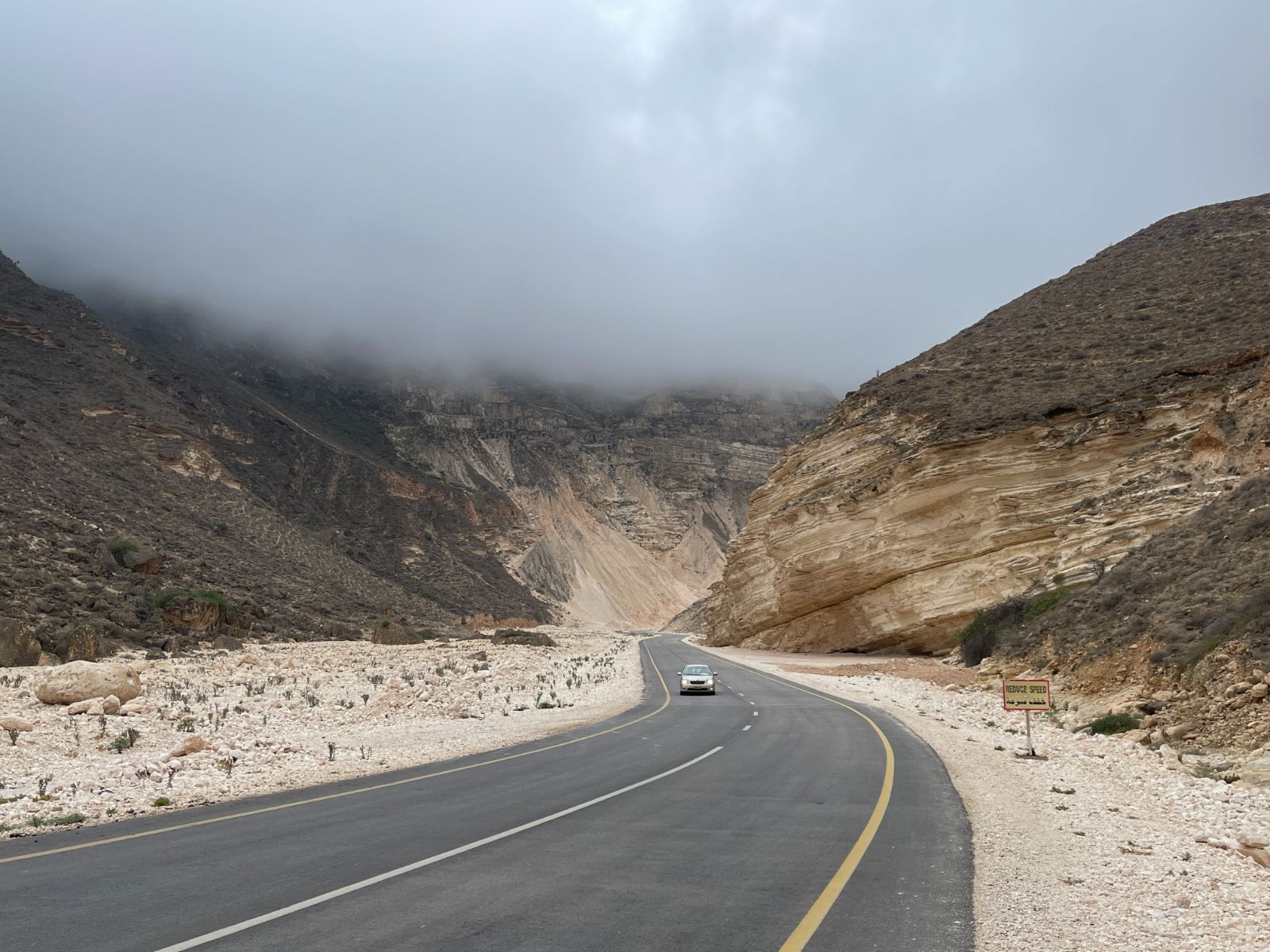
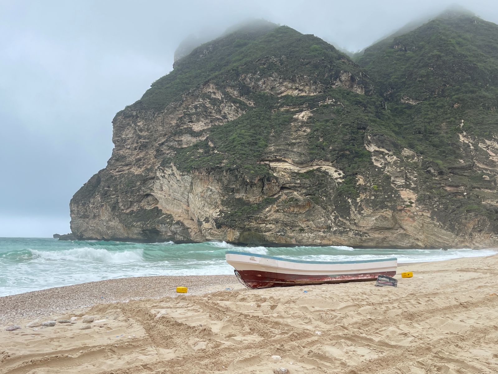
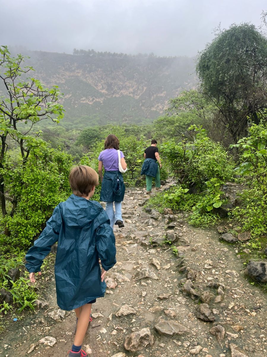 1 point
 -
Trip Update: Date: 18 July 2023 Country: Oman Border crossing at Al-Ain Meyzad: https://goo.gl/maps/dfTBdaLyCXjAiZ1P6 Do not bring drones, two-way radios, alcohol, or any other illegal items! We sorted out our e-visas beforehand online (29A for sponsor and 29B for dependents), 5 OMR per person. The border official told me there’s a free visa for GCC residents somehow. Not sure if he meant online or on arrival. Crossing the border was very smooth and a matter of minutes only with a short visual check of the car. Make sure to get car insurance coverage for Oman and get the “orange card”’ from your insurer. This is just a piece of paper in Arabic that states your car is insured for Oman. Make sure the vehicle is under your name. I’ve seen an occasion where the guy was barred from entering because the car was under his wife’s name, and she was not with the group. Vehicle on car loan will need clearance from the bank I heard in the past. Not sure if this is true or still valid. Region: Nizwa - https://goo.gl/maps/EVo2Gx8e5fuGmots8 Known for: its fort and adjacent souk, a beautiful palm tree-lined city nearby the majestic Al Hajar mountains. Somehow it felt a bit cooler here than Dubai already. View from Jebel Hatt (2000m elevation): You can follow the tarmac road and climb all the way until this viewpoint: https://goo.gl/maps/NzuvpEsNyG6QX9rz6 If you fancy some decent off-roading trails, you can go from here all the way to Rustaq via Snake Canyon. https://goo.gl/maps/SXnWP6YEKvRWkrz19 We skipped this due to lack of time and the unpleasant weather (40+ degrees C). Courtyard of Al Bustan Inn, a cosy small hotel which we booked for one night: https://goo.gl/maps/PpKW2dpNavRXctSw5
.jpg.c2d92d70fe40fc98b2d377a1017d1263.jpg)
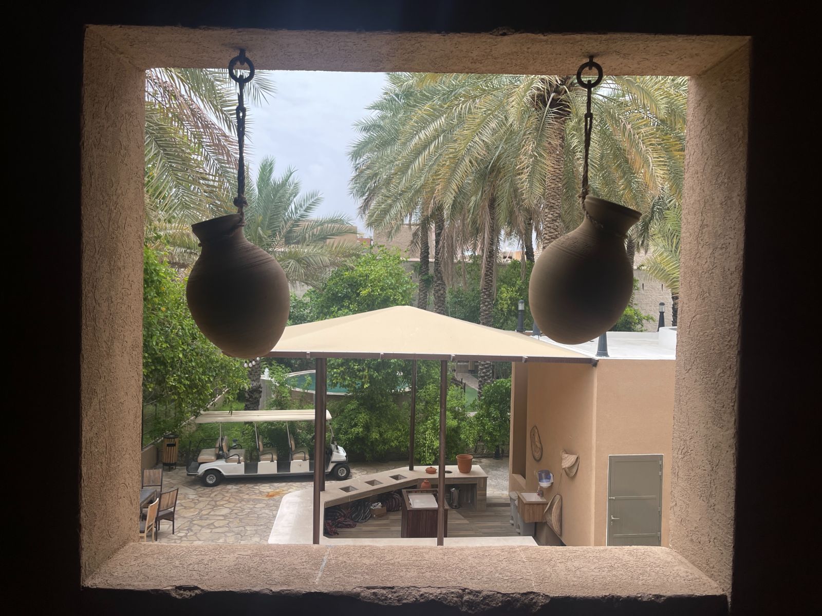 1 point



This leaderboard is set to Dubai/GMT+04:00