
Leaderboard

.thumb.jpg.6e09bd45400dcfe48d117dedaf09f025.jpg)

Popular Content
Showing content with the highest reputation on 10/07/2024 in all areas
-
Many of us have friends, or family members who venture into the UAE deserts or mountains during the pleasant winter season. Unfortunately, they sometimes end up getting stuck or find themselves in unsafe situations. As a club member you gradually become more experienced and would sometimes like to offer those essentials with your friends. Telling them to join us is a great tip but in reality, not everyone wants to become a seasoned weekly off-roader, or they have other priorities they need to attend for. We made this leaflet to share around amongst anyone you know, to help educate them about the essentials of off-roading so they are safe at all times. It is a single page so they can print it or keep it on the phone. We are providing a Landscape or Portrait version in PDF format. Please help us in sharing these leaflets to ensure a safe off-road season for all the people we know and love! Carnity Leaflet Landscape.pdf Carnity Leaflet Portrait.pdf10 points
-
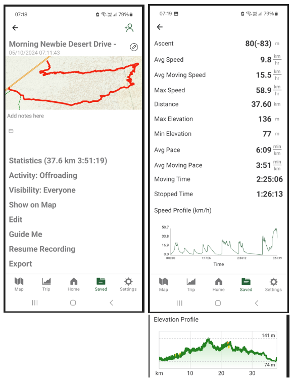
Here are some stats from our drive on Saturday. We managed to cover 37 km which for a Newbie drive with 9 team members with 0-2 drives is indeed notable!
 6 points
 -
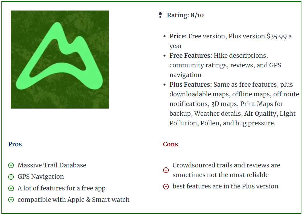
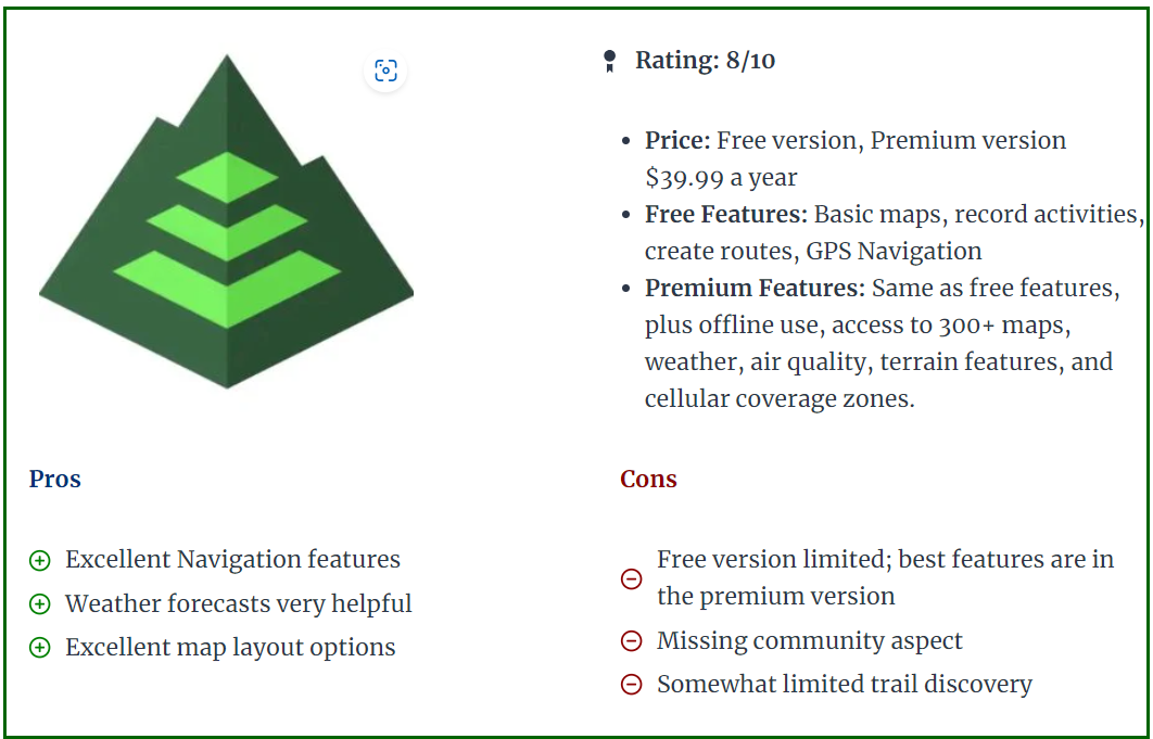
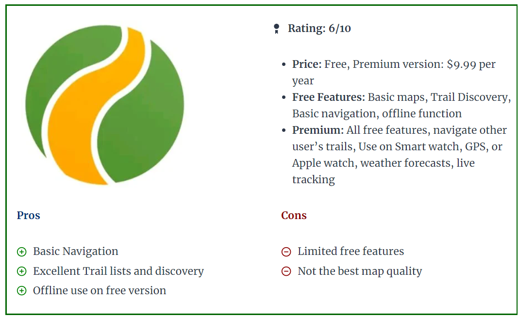
Finding our way in the desert probably was never easier than it is today. All of us have a phone with GPS signal and with a simple click on Google Maps we can see where we exactly are in the desert. In below topic we will compare some of the most known GPS applications and devices. Of course there are probably hundreds of apps on the market, but we will focus on the apps often used by off-roaders and particularly in this part of the world (Middle East). It is important to divide GPS apps into different uses, based on the type of off-roader you are. 1. Record the track you have done with the club. Can be done with most GPS apps free of cost (GaiaGPS, Gurumaps, Alltrails, etc..). In the free apps you might be restricted to Topo maps only, not satellite imagery. Offline download of the maps will not be possible. 2. Find tracks uploaded by others and follow them. Once you have some off-road experience and you recorded some tracks, it might be interesting to find trails that others have posted or uploaded. The community approach of Wikiloc, Trailforks, or Alltrails is perfect for this. 3. Create your own maps, routes. This part is more for people who lead drives or want to create their own overlanding routes. It will be important to have access to good map layers like satellite imagery or topographic maps, or POI (points of interest) so you can trace a route of where you are planning to go. This kind of planning will need to be done on a laptop or computer. You can use Caltopo, GaiaGPS, or even Basecamp. Advantage of Basecamp is it's a standalone windows program that does not need an internet connection. Disadvantage is the limited amount of maps you can use (satellite imagery only possible if you have a Garmin device with Birdview license). I personally prefer Caltopo as my planning program and then export to my mobile app. Google Maps (Phone and Website) While Google Maps is good for basic use, it lacks recording possibilities, so it does not provide an option to record your tracks and re-visit them for later use. You can add some waypoints and save them in the application, but as most of this requires a data or wifi connection to work properly, Google Maps is not ideal for navigating in the desert. It allows for downloading some offline maps, but even this is a temporary function (30 days from what i could remember). The positive points of Google Maps are the fantastic satellite imagery, and the POI (points of interest) which allows you to find nearby gas stations, lodging, etc.. and also provides the well-known turn-to-turn guidance. I think most of us use Google Maps or Waze for daily navigation in the city and we cannot miss it anymore. Garmin GPS devices (standalone - Desktop Functionality through Garmin BaseCamp. Even before Google Maps arrived, Garmin was the king of GPS and navigation devices but has lost lots of market share with the advent of phones and apps. For that reason, they jumped into the world of fitness apps and smart fitness watches. Devices like the Garmin 276C, launched in 2004, are legendary for all kinds of offroad navigation (marine, aviation, 4x4), allowing overlanders to store thousands of tracks and waypoints, and the 276C was known for being big but super reliable. In 2016 Garmin relaunched a facelift model called the 276cx, but in the meantime there were other models like the Montana series, or the Overlander model that offered similar features but now included touch screen features, while the 276cx remained a push button model. Of course it depends on the type of use, as bikers and boats might prefer the simple push buttons over a touch screen that will act up when it gets wet. The main advantages of dedicated GPS devices like Garmin are the screen quality (much less glare), reliability, and in most cases also accuracy is slightly better than a phone. Furthermore, it allows you to keep your phone for other purposes like preserving your battery in case you need to take calls. Their devices can take a serious beating, are often waterproof, and remain the preferred choice for hikers and adventurers that don't want to rely on a flimsy phone. The Garmin devices are also still popular with people who go overlanding across different countries, as all the maps are stored in the memory so there is no need for a data connection. Rather than buying the maps from Garmin, most people head over to Opentopomap or Openstreetmaps to download free and regularly updated Topo and DEM maps. (Digital Elevation Terrain Model - offering shaded relief). Tip: The Shaded Relief layer functionality is brilliant to find the bigger dunes and bowls They also offer satellite imagery by means of the Birdview satellite Subscription which used to be quite expensive, but seems to be released now as a free option. At least on my devices it shows as "valid until 2038". Birdview is not as crisp as Google Maps but is definitely not bad. The main disadvantage is the user interfacing and complexity of use. Garmin devices mostly have an older classic style of user interface (except for maybe the overlander model), while apps on phones became much easier to use. Secondly, Garmin really struggles to club together the different devices over the years into a centralized platform. Sure, you can connect your device with a cable to Garmin Basecamp on your laptop and this works fine, but wireless transfer of a GPX track to your phone works via the apps Garmin Explore or Garmin Connect, depending on which model. And on some older models like the 276cx you can use the Connect app, but you cannot export the track to GPX into your phone. All of this is for novice users a steep learning curve, and on top of that the devices are not cheap. If you like to venture into different countries and you want to have a dedicated device that contains all your maps and waypoints, then Garmin could still be a good fit. But as you will see further below in the phone apps, there are similar options. (keeping a dedicated phone that has an app with offline maps downloaded onto them). Garmin Basecamp desktop software, however old it is, remains a fantastic piece of kit for planning trips. What might be confusing to new users is the different ways of how Garmin considers tracks or routes or activities. Creating a route will put marker flags along the way so you cannot consider this is being an actual track. You can however convert a route into a track to overcome the limitations of a route. An activity is a recording that was made, like a hike, or an offroad drive. All in all Garmins is quite confusing in this aspect in comparison with the GPS apps. Gaia GPS (Phone and Website) GaiaGPS is an app that runs on your iphone or Android, and has been the market leader for offroad navigation via apps. There are plenty of Youtube videos that explains the functionality, and most of us in the club are using it. I found it by coincidence in 2019 and was then still using MotionX, that got discontinued eventually so if shifted entirely to GaiaGPS. Pros: - Fantastic amount and quality of built-in maps. For example, the one called "Sattelite with labels" which enables you to find trails (dotted lines). This alone has helped me tremendously to create routes for longer drives (scenic / overlanding). You can also add custom maps like Google Hybrid, Terrain, or Maps by having a look in my above post "Gaia GPS for beginners". - Great user interface, easy to learn. - Planning a route via the website works great, with snap-on routing that works flawlessly. - Offline download of your maps on your phone. - All tracks and waypoints are saved and synced across your devices and your account in the cloud. - You can enable a layer called "Public Tracks" which allows you to see tracks uploaded by other users. Great function to find new tracks ! Cons: - Number of updates over the last year has reduced the reliability. A few times i was automatically logged out of my account on my standalone phone without any reason. This is unacceptable when being somewhere in a remote place. - Syncing is sometimes slow and buggy. - Folder and organizing of tracks is not great. It's also quite slow to manage hundreds of tracks and thousands of waypoints via the website interface. A standalone desktop program would be fantastic and probably much faster. - Price has been steadily increasing over the years since Outside+ has taken over the ownership. - Route planning for draft or different projects is difficult. Sometimes i like to create a complete route with different waypoints where i don't want to keep this for later use. With GaiaGPS you are essentially always working within the same map (unlike Caltopo). Caltopo (Phone and Website) CalTopo - A Backcountry Mapping and Navigation Essential I found Caltopo as there has been a lot of discussion in the Gaiagps and Reddit forums of several users (hikers and offroaders) that moved over to Caltopo. I decided in 2022 to give it a try and it became my main app to plan routes (via the website). The main reason is that it allows you to work on different maps. So for example when i want to create an overlanding route through UAE, i can create a map called "UAE" and put all my routing and waypoint in there. I save it as a separate project and that way it does not clog up my other maps. Quite differently from Gaiagps but i really like this functionality. Secondly, the website works super fast ( no java-style like Gaia website), and it allows for quickly deleting tracks or waypoints without running through different web pages. I all looks a bit more dated but you get speed in return It also allows to create custom map layers, for example you can use the Google Sattelite image with a different layer. Currently i have a layer of ESRI sattelite footage with an overlay of Google Maps. It also offers a fantastic Shaded Relief layer, like described in Garmin above as well. The mobile app however is not yet where it should be in my opinion. It works less intuitively in comparison with GaiaGPS. Icons are smaller, and even though there are similarities, GaiaGPS offers a better user interfacing in general. The general consensus with many hikers and offroaders is that they use Caltopo website for planning their trips, and then import it in Gaiagps mobile app while on the hike/road. I do this as well quite often. There are different subscription levels, but most go for the Pro version which goes for around 50USD per year (similar cost to Gaiagps). If you are a plot surveyor or professional hiker, then the most premium (100USD per year) will offer you a standalone desktop version with more complicated custom functionalities. One disadvantage i found is that due to copyrights, the mobile app allows for offline maps downloading, but only a selected few maps can be actually downloaded. This is a bit of a turnoff if you are planning to use it often abroad when you have no data. You can however download the sattelite imagery, but this one lacks the "labels" which Gaiagps offers in their "Sattelite with labels". Guru Maps (Phone) Guru Maps - OpenStreetMap Wiki After testing so many apps, i personally find GuruMaps as good or even better than GaiaGPS. What i personally like most is the smooth flowing map when you are driving. While other apps have a kind of a stutter effect whenever the maps is shifting, Gurumaps doesn't have this issue. Unfortunately there is no website, so you will need to do your routeplanning on Caltopo or GaiaGPS and then export your route into Gurumaps. The interface is very user friendly and simple. Within minutes i found myself using the maps without having to scratch my head on where i could start recording or browse through my collection. The tracks you record can have a multicolor scheme based on speed or elevation. This is a very nice feature. For 22.5USD per year this works great for novice users. Disadvantage is the limitations in offline maps: it does not allow you to download imagery, only street and topo maps. This is a big disadvantage in my opinion, but probably explains the lower subscription cost. With Guru Maps Pro you can however import custom maps in MBtiles format. I've been experimenting with QGIS desktop software and now i am running GuruMaps with a Google Hybrid imagery offline downloaded layer! All Trails (Phone and Website) Alltrails is available for 36USD per year and offers a very user-friendly interface. It offers a view into nearby hikes or trails posted by others, so it has a bigger social functionality. I have not used the website and route creation function yet, but i think Alltrails is definitely a good option to consider using. It also allows for offline map downloading, and plenty of people in our club use it as well for the ease of use. To me, the website looks similar to Wikiloc, which allows you to find uploaded trails done by others. It does however not offer route-planning. Wikiloc (Phone and Website) The main focus of Wikiloc is finding trails posted by others (via the website), and by using the mobile app you can follow those same trails. Perfect for hiking. Outside+, the company that owns GaiaGPS offers something similar with Trailforks App. For off-roaders it can be used as well but lacks many functionalities. In my opinion it's a great platform to share your tracks on or download some interesting tracks that others have posted. That is the only functionality i am currently using it for. BackTrackMaps (Phone and Website) Backtrack: Maps for Backcountry Adventures. Very interesting desktop functionality when it comes to planning routes, and very similar to GaiaGPS. Also free to use for most of its functionality (30USD/YEAR for the PRO version) and even includes Mapbox Sattelite Imagery. Unfortunately, the mobile app only allows for "backtracking" your planned gpx routes, and does not allow recording your actual track. If this feature would be there, it would take a lot of Gaiagps customers away 2025 Update: Backtrackmaps has included Recording functionality.
 5 points
 -
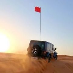 Drive Plan : This drive is to celebrate Our very own, one of my Fav Marshals @Islam Soliman's Contribution to our learnings and passion for Technical drives. Islam is leaving Dubai for good, to be back to his base, Egypt, and hence this drive has been planned. Brace up for immense patience as we will be navigating through one of most challenging dunes of Lisaili, heading towards Chimney ( If time permits ) - Brace up for lot of stucks & Recoveries ! The drive will be a fast pace ( Only when compared to speed of Snail! ) We will have evening coffee during the break or during recoveries - Only time to tell when that will be ! MUST READ AND COMPLY Environmental Policy Offroad Flag Guideline Two Way Radio Guideline Off road Driving Etiquettes Emergency details for all off roaders Off Road Driving - Roles & Responsibilities Level: Fewbie plus and above When: 13 October Sunday Meeting time: 1500 HRS Meeting Point: https://maps.app.goo.gl/855bfbJ78sAdCZu68 Approximate finish time: 1800 Hrs Type of Car: Any proper 4x4 with front and back tow hooks and 8-10 inches of ground clearance. What to bring along: Loads of water, snacks (for yourself), smiles, enthusiasm, and willingness to learn. RECOMENDED OFF-ROAD GEAR: Tire deflator & Tire pressure gauge Compressor (MANDATORY) Walkie-talkie radio (MANDATORY) Off-road flag (MANDATORY) Shovel, Tow Rope & 2 Shackles First-aid kit Fire extinguisher LIMITED SPOTS AVAILABLE This drive is limited to 10 cars only. RSVP will close on Friday - 12 PM. If the RSVP is full, you can add your name to the waitlist, once anyone drops, you will be moved to the RSVP list. RSVP will close a day prior to preparing a convoy list. Latecomers will be returned - Without any exceptions. Members without RSVP will be returned - Without any exceptions. Please withdraw your RSVP, if you aren't joining, so your spot can be taken by others. Repeated no-show members after RSVP will have their account suspended for a month. PLEASE RSVP ON THE CALENDAR3 points
 -
I am a beginner but my two cents - as long as you're using OFFROAD PLUS mode (the button closer to the bottom), you should be ok since it holds the gears longer. Incase you're driving in D, my understanding is that the transmission would change gears a lot more than is required since its geared towards fuel efficiency, leading to added wear. Rest, for manual, operations, once in Drive, just flip the gear lever to the left and then you move it up and down to reduce a gear or increase. For me, at times, its a lot more fun since it's quite responsive and I have always had a soft corners for MTs.3 points
-
Thanks, @Zubail - should anyone else be reading this thread in the future I can confirm that Ben’s advice is spot on. I did some long climbs yesterday and they generally worked out well - 4H Part Time, Offroad Plus mode on, long press on the TC button to reduce assistances, and manual on the gear shifter. I was finding that upshifts at circa 4500-5000 rpm on the run in was good, prompt downshifts at 3000-3500 rpm in the run uphill as rpm’s decayed, modulate the throttle from mid to full application, left/right steering to find grip as you go. A few observations of the car’s behaviour: 1.) Important to feather the throttle to get timely downshifts. I think the Jeep is a little funny about a downshift with 100% throttle being held. 2.) It has a soft limiter for RPM, so when you hit redline it will aggressively limit you to that power setting. I don’t think it backs off, but you will immediately stop accelerating and that loss of momentum is going to hurt how well you do in the next gear up (basically if you hit the limiter you need to seriously consider as to whether you can keep climbing or need to be ready to bail). 3.) With some practice you can use your ear to time the gear shifts. My exhaust has an extremely noticeable note change coming down through 3000 rpm. All this was done with the Tazor Mini removed - this may have been doing something strange with the transfer case previously. I suspect that 4H Auto might do even better for getting speed initially (it’s basically an AWD system in that mode - and might help you generate more speed on a run in) - however the trade off is that the auto system can only react to conditions, it can’t anticipate, and that might cost you some performance later.3 points
-
I use a metal bike mount on my grab handle
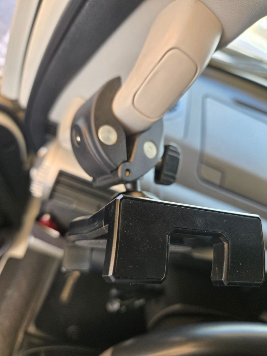
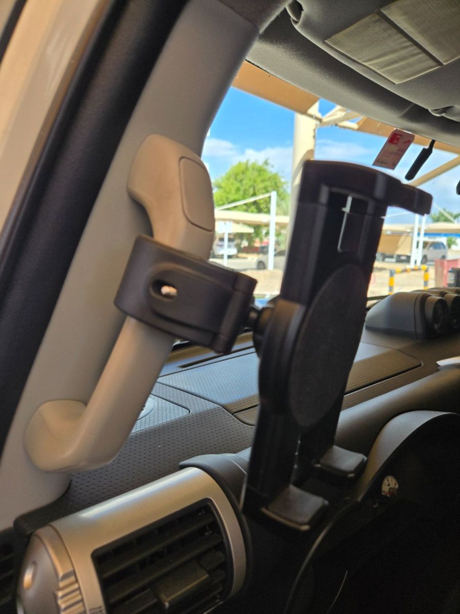 3 points
 -
 Thanks @DP1011 for adding me to this monumental drive with our friend @Islam Soliman. He had a profound impact on my early experience and skills building in NB and FB levels. @Islam Soliman, you will never be forgotten and often remembered fondly as a patient, calm and very communicative marshal guiding the next gen of more experienced drivers progressing through the Carnity experience levels. Looking forward to our drive together on Sunday.2 points
 -
A handshake from fellow intermediate driver 🤝
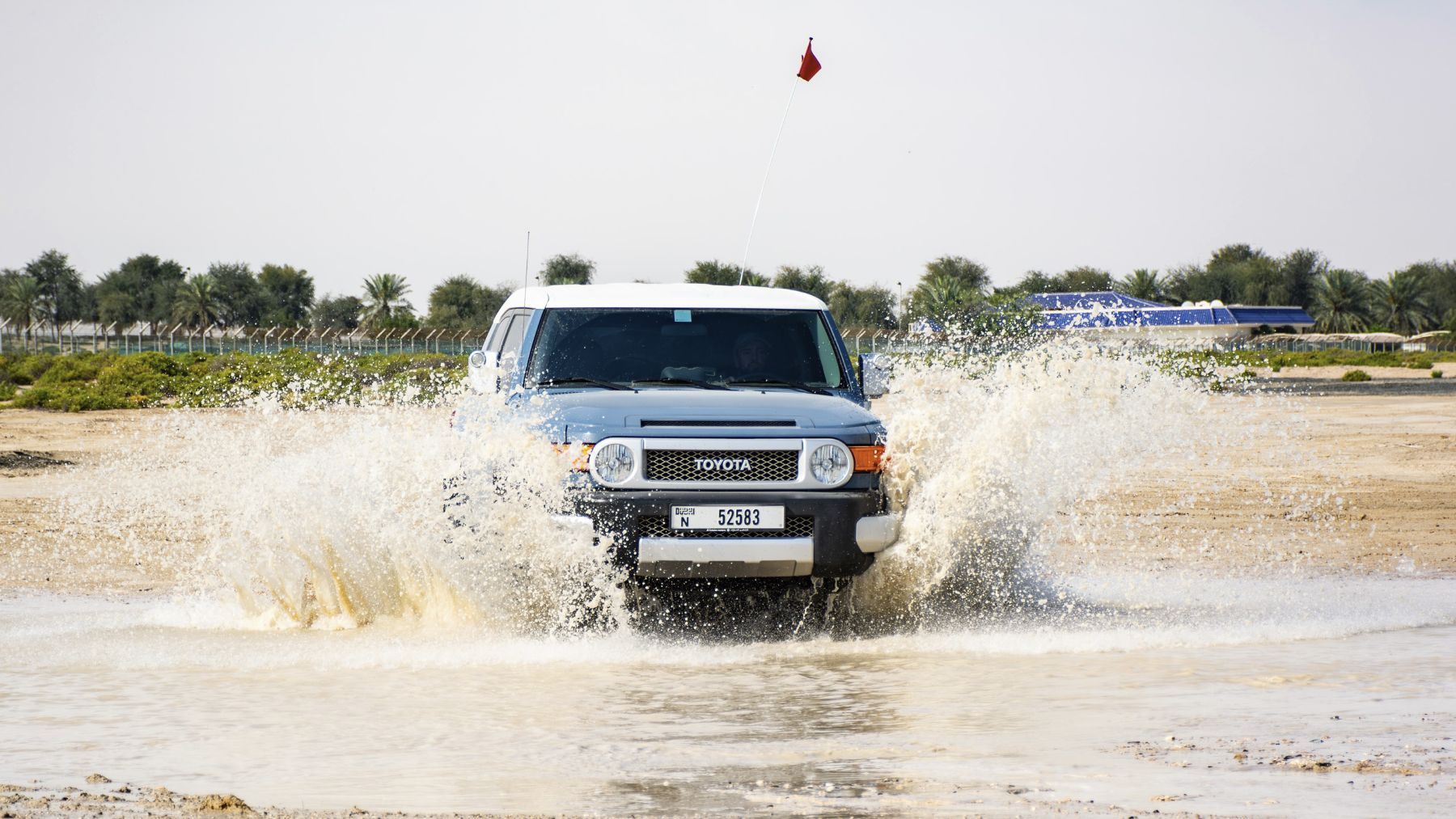 2 points
 -
2 points
-
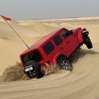
some lift off pics: @Shaun J @Tharun Kumar V, I see the front wheel in the air too! @Imteeaz also about to take off:
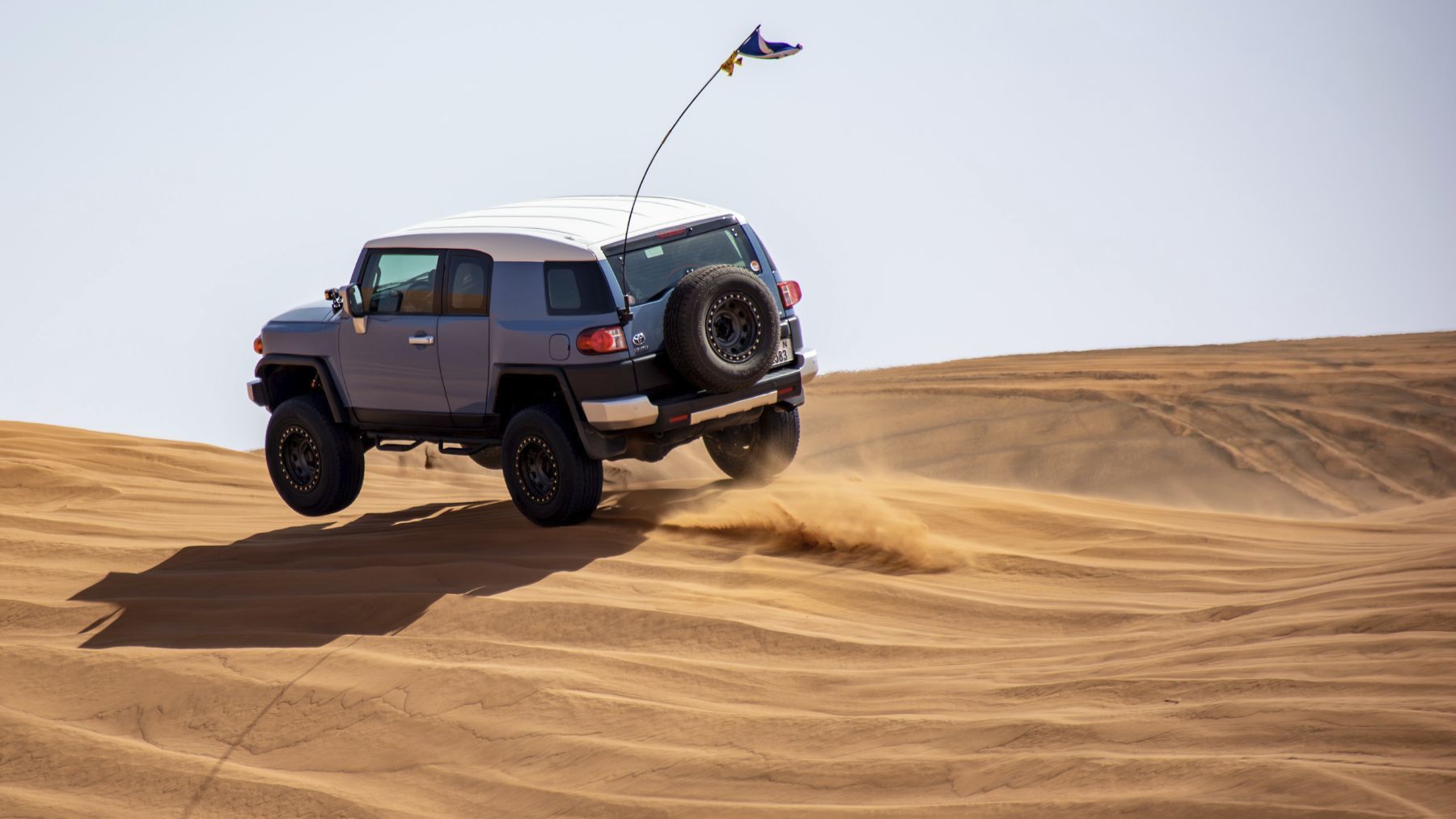
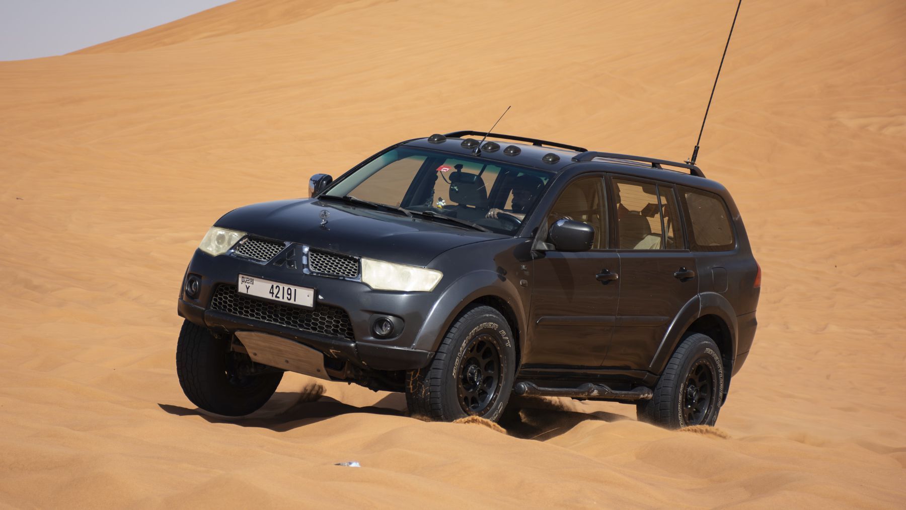
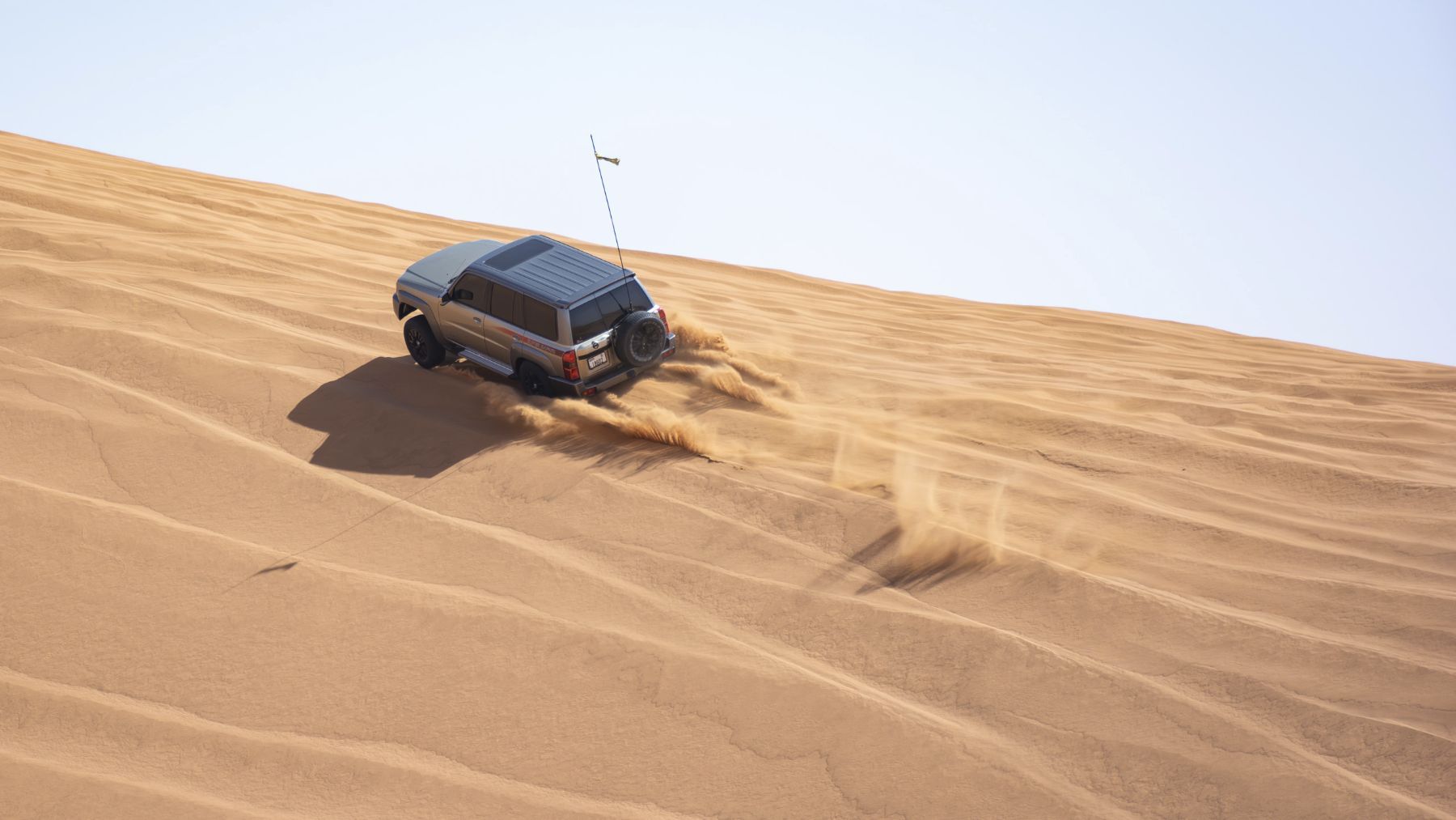 2 points
 -
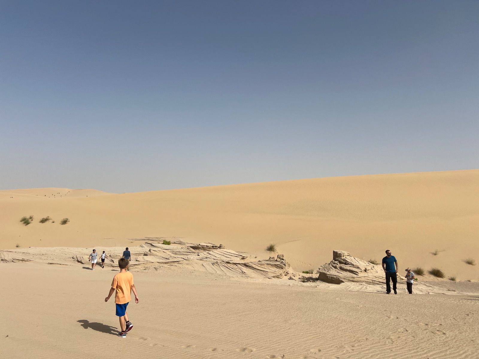
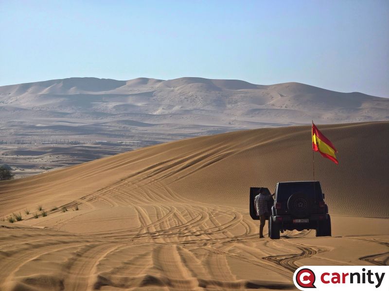
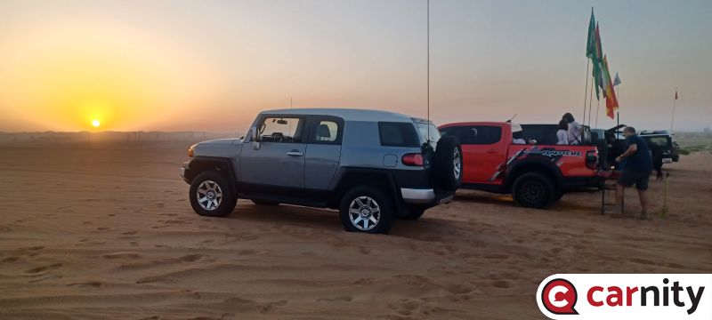
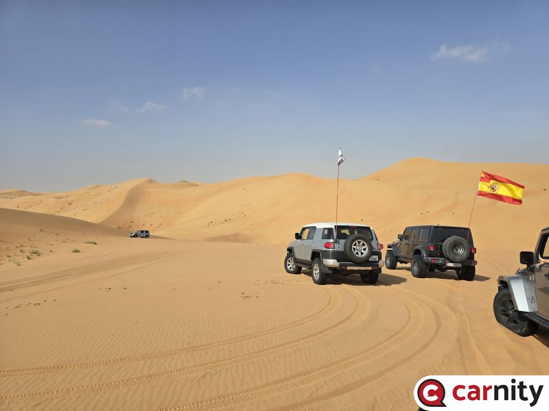
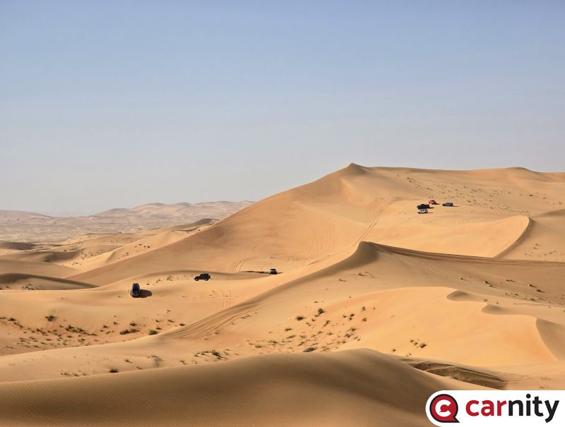
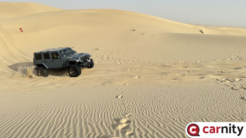
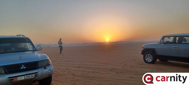
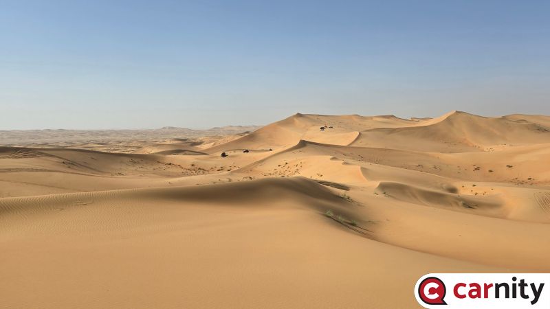 The convoy was split due to a recovery but it gave me a good chance for a photo to show how small we are in the desert2 points
 -
Thank you @Luke K P for the perfect summary., and for sweeping the convoy. You were all excellent yesterday, and we were able to maintain a nice flow cruising these big dunes, making the drive very enjoyable for all. Great job from @Bjoern supporting the few refusals with accurate guidance. Well done @Carl Stanley for your first FB, you were directly pushed into a higher level. @Misha Puskar, @Martin M, nice way to come back after some time out of the sand. @Michael asir, your driving is accurate, very well done. @ChrisW you had the possibility to push the throttle, I'm sure you enjoyed it. @essam ibrahim, great improvement since our last drive together, happy to see that. @Ahmed Farouk @Zulfikhar Naiyar @Beide Worku, good to see you after a long time. @Aser thank you for the 2nd lead, adjusting my lines when needed See you all very soon !2 points
-
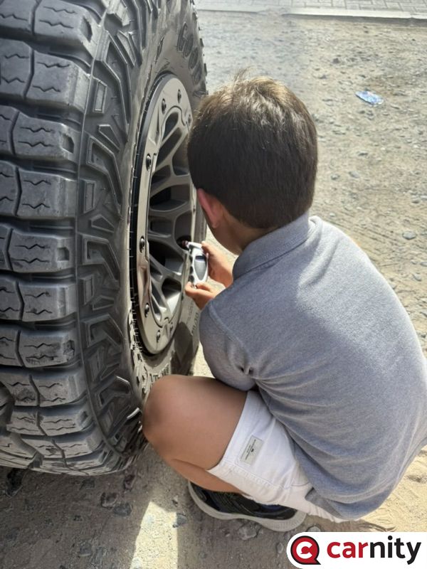
Good afternoon, It was really nice to have met all the new club members yesterday. Welcome to the Carnity off-roading club @Andreas Riis, @Jose Luis Campos, @Hetal, @Yurybel, @Sam_, @Arvindraj, @Abhishek Chikara, and @ALEX 0171. As already mentioned, you all drove really well in challenging terrain while learning about your vehicles and how they behave in different sand conditions. As @Davie Chase mentioned, my second support drive was nicely challenging to say the least. Thank you for giving me such great opportunities (and exercise) and rest assured, we have all be exactly where you ended up and will likely end up again sooner or later. Keep a positive attitude about your learning and staying safe, and you'll be just fine. One of my new learnings today was how to use a tire valve core removal tool to deflate my tires. I used to use Staun deflators but they are not accurate and I have had to use a tire pressure gauge to adjust down to the right pressure I wanted for that drive. Sometimes they let too much air out and I had to pull out the compressor to put some more air into the tire. This was one of my least favorite parts of our drives. Then I bought a four-way inflator hose system, which simplified my inflation process. The clip-on tire chuck makes it a dream to put onto the tire valves and the digital pressure gauge is handy and the system will balance the air between the tires when used correctly. Last year I started using the four-way hose for deflation. This was much better and pretty accurate to once you get used to it and after double checking the pressures with a tire pressure gauge you trust. The only hassle was having to pull out and connect up the four-way hose system twice for a drive. On this drive, I was determined to give the valve core removal process a try. I deflated 3 of my tires individually, which took time but I only was after trying the tool on 1 tire as an experiment. Making sure I didn't lose the valve core and with a spare handy, I removed the valve. In about a 30 count I put it back in. I was nearly at 12psi which is where I wanted to be. I kind of eyeballed the tire to estimate where I was at psi wise. Although apprehensive about this for a good while now, I'm sold. This process too is my go to method going forward. Wait... that isn't the end of this story!!! And what a coincidence. I was heading down to see how @Abhishek Chikara was making out with his deflation and he had just had one of his valve cores fly out from his rapid deflation tool and gauge. Guess who still had their tire valve core removal tool in their pocket... he wanted to learn how to use it so with a simple explanation he screwed it back in himself. Read this article for more detailed information and banter about tire deflation. https://carnity.com/forums/topic/13522-how-to-deflate-your-tyres/ Until next time, stay happy and healthy. Emanuel2 points
-
2 points
-
Congratulations @Marek for reaching the Intermediate Level with Carnity Offroad Club. Looking forward to seeing you growing further and helping others to learn the art of offroading in a safe environment. Please make sure your Carnity user profile is always updated with all the latest Emergency contact details. P.S. Trip lead might deny your participation if you don't have required off-road gear. INTERMEDIATE Drives Attended (Indicative) Minimum 10 Fewbie Plus drives are required within last 6 months for Intermediate promotion. What you'll learn Basic GPS and navigational skills Basic tow rope and winch recoveries Extreme side sloping and long hill climb Tall dunes ridge riding and criss crossing Precise control over technical dunes Fast pace desert driving Clear radio communication skills Advance recovery skills Self recover from dune crest Soft sand recovery Pop-out fixing Skills required Adventurous and thrill seeker but in a safe manner Level headed under stressful situations Responsible, dependable and accountable Car Worthiness Capable 4x4 vehicle with low range gearing Suitable approach and departure angle High profile tires Off-road gear required Safety flag, tire deflator, tire pressure gauge, shovel, fire extinguisher, medical kit, radio (walkie-talkie), air compressor, tool kit, rated recovery rope and 2 rated shackles, GPS. Drive teamwork Manage center forward position with Trip Lead’s permission Learn/assist recoveries under Trip Lead’s supervision Re-route convoy and coordination, when needed Learn to lead small portion of Intermediate drive under Marshal supervision Drive Joining Join Newbie, Fewbie, Fewbie Plus and Intermediate drives. Forum participation Active participation on the forum Share drive experience + feedback Share drive pictures in the gallery Post trip report after the drive1 point
-
Thanks all, appreciate it! @Davie Chase maybe need to show me it off in my first intermediate drive? 😉1 point
-
Congrats @Shaun J well deserved, the George cross is flying high by the way😀1 point
-
Ok I'm excited... What's the plan? 😁😁😁1 point
-
Well done @ALEX 01711 point
-
Nice achievement @Shaun J. See you soon in the sands next time.1 point
-
Congratulations @ALEX 0171 well done1 point
-
Congratulations @Shaun J on your promotion. Well deserved1 point
-
Nice one @Marek Looking forward to drving some IM drives with you1 point
-
Mean it's easier to turn for long cars?)) will read now! thanks! Will try on Sunday !)1 point
-
1 point
-
Think this might be the perfect solution for me with using the phone there. thanks mate! gaia on the android auto is quite laggy for me and after a an hour or two just seems to stop?1 point
-
If you have a cd player you can use an iPad hder which plugs into the cd slot it's solid from Amazon1 point
-
@ChrisW hi! Maybe this thread will be helpful for you, Ben and Riad have very detailed description on drive modes!1 point
-
Hello, (Audio reference shared below) So, for the first time since I’ve used the car it suddenly starts rattling on longer drives (30-40min+). As if I am driving a car that has square tires not round. Best description I can give. It starts off as a minimal shake and then gets exponentially louder and more shaky. During acceleration and breaking as well. The effect affects both the same way, probably a bit more when you are slowing down. Stopping the car only resets for a bit and then it comes back. The issue is mainly felt from the back axel or tires, I am not sure. I did wheel alignment and it reduced the rattle drastically, however on longer drive it does come back, and goes away. So somehow the issue is there just reduced. Two different mechanics told me different things: - ABS system is faulty - Rear differential is failing + rear bushes need to be changed. I did no changes to the above yet. Need to know if anyone experienced this, and how to fix it? What’s the actual issue? audio sample here: https://drive.google.com/file/d/13boDvezqstfysR7nRQ0yksP1JSB0nO6b/view?usp=drivesdk Hope it helps. Thanks.1 point
-
Thanks @Frederic ,.. will be handing a few of these out as the BBQ season gets underway. 👏1 point
-
1 point
-
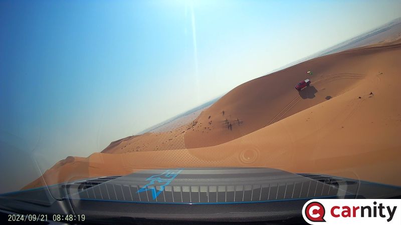 @Luke K P1 point
 -
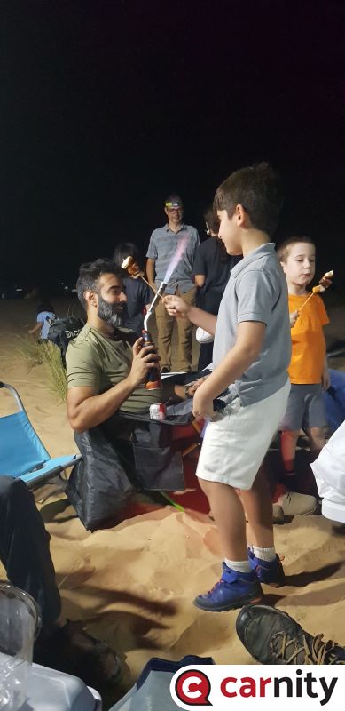 Best photos! @Gaurav you caught the best moments!1 point
 -
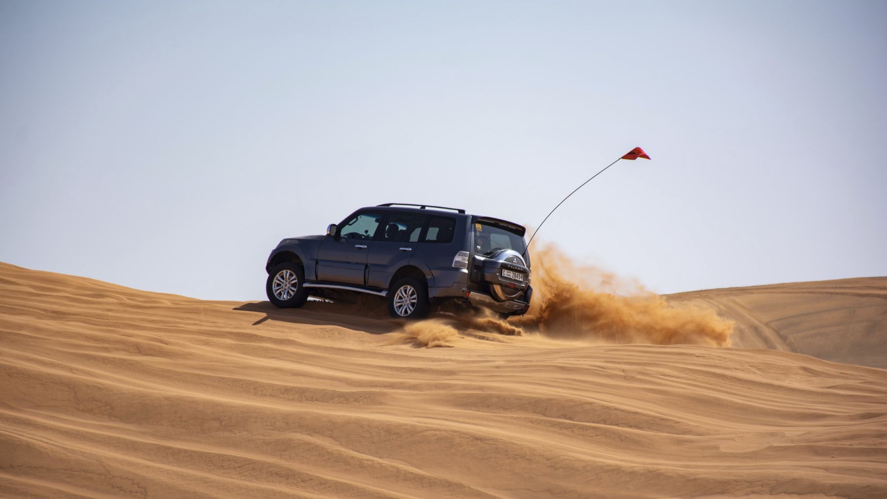
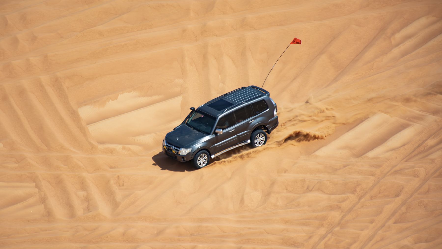
@Gaurav Soni thanks for the drive today! And thank you for recovering half of my flag Couple of snaps for you: @Andrew John Melvill, some of the most dramatic shots today are thanks to you:
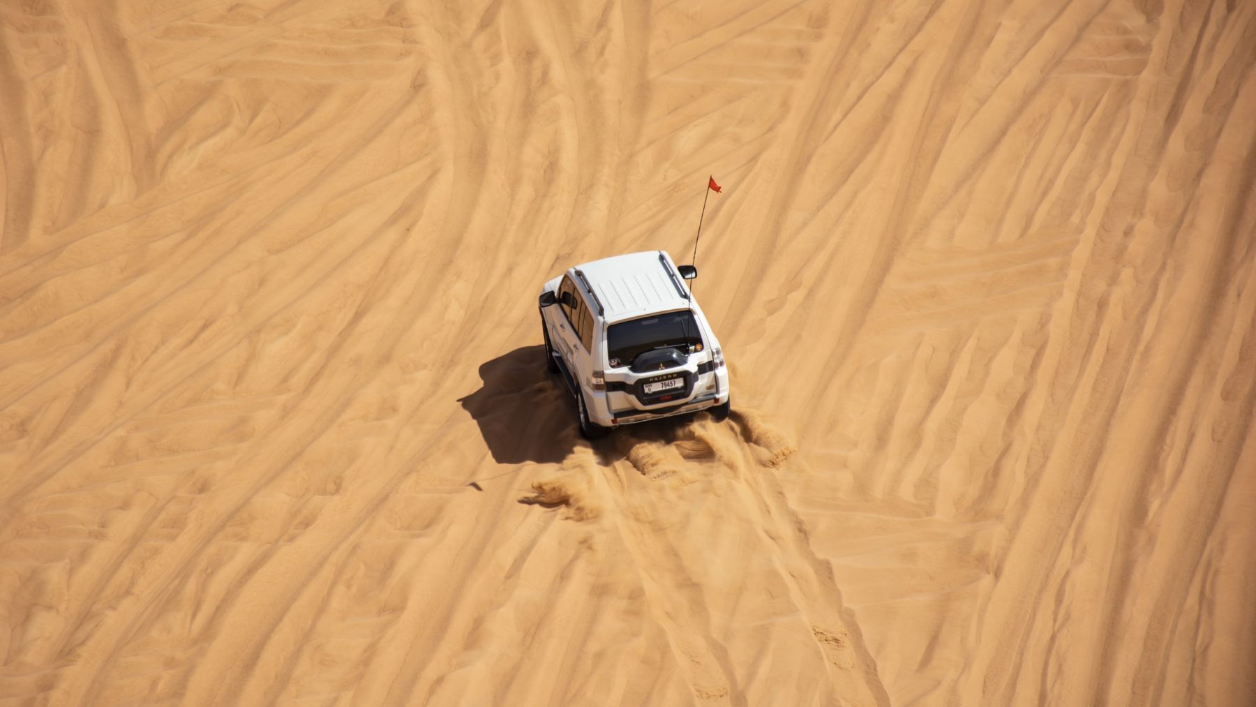
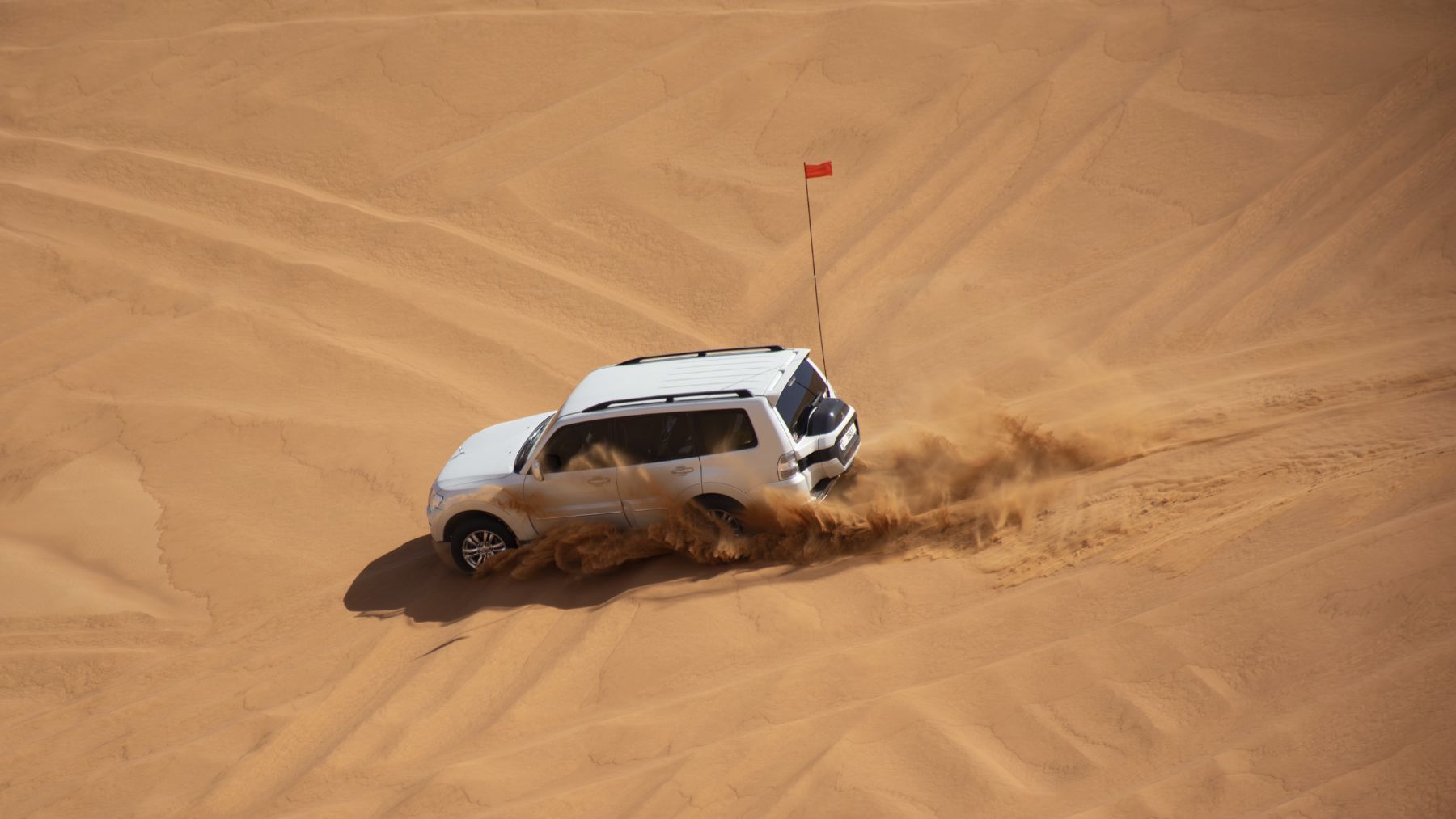
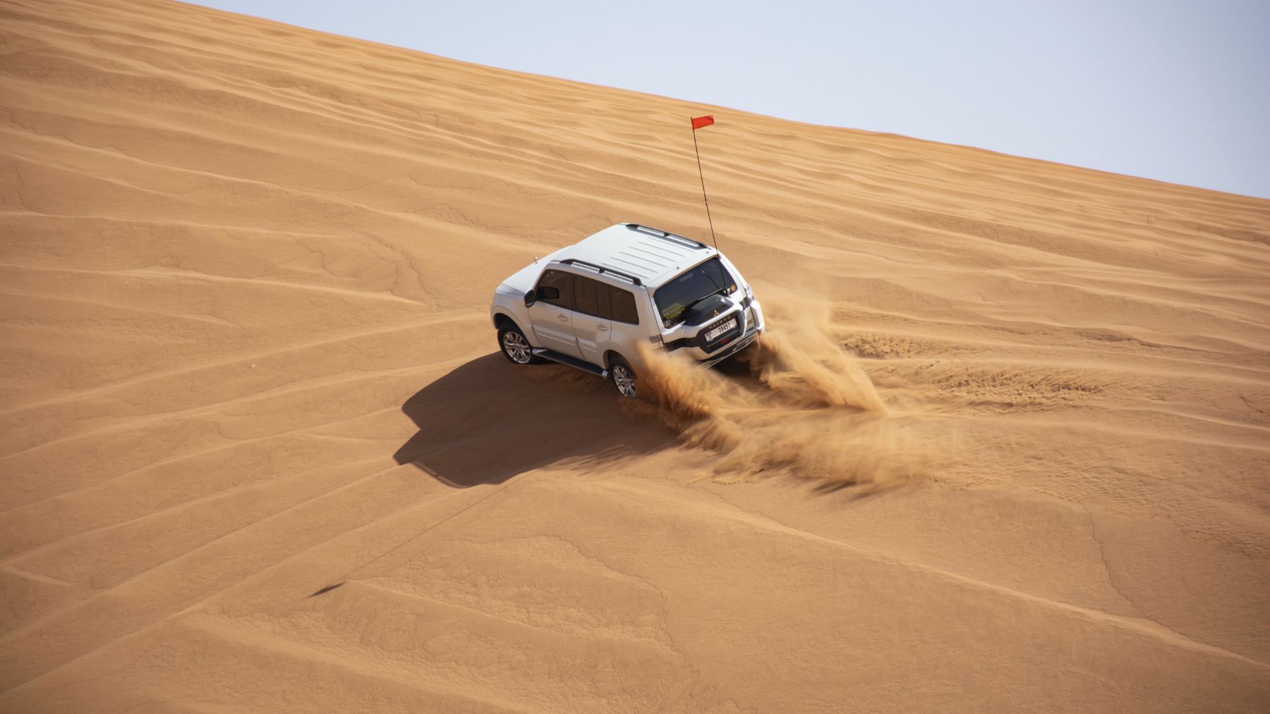 1 point
 -
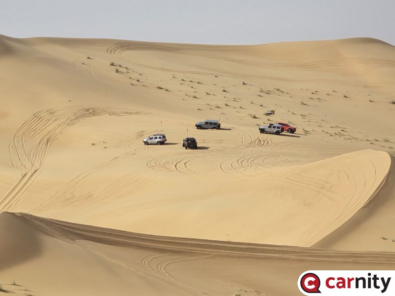 2WD off-roading with @ChrisW1 point
 -
Fortunately was good for five hours of sand today! Odd one yesterday.1 point
-
1 point
-
1 point
-
1 point
-
1 point
-
Hi Fred @Frederic What about GPS location/ track accuracy? In your opinion which one offers greater accuracy? Remember during the last DCT we all kind of suffered somewhat due to this. Gaia was showing different tracks on each phone even though we all followed the same track. I understand it is down to your phones data / GPS and due to this reason, I was eventually planning to get a something like Garmin Overlander or Magellan TRX7 exclusively for recording/ planning. But not so sure now after reading your comments above.🙄1 point
-
1 point
-
1 point
-
1 point
-
1 point







This leaderboard is set to Dubai/GMT+04:00